Tyne Tunnel, Jarrow
Map

Gallery

Facts and practical information
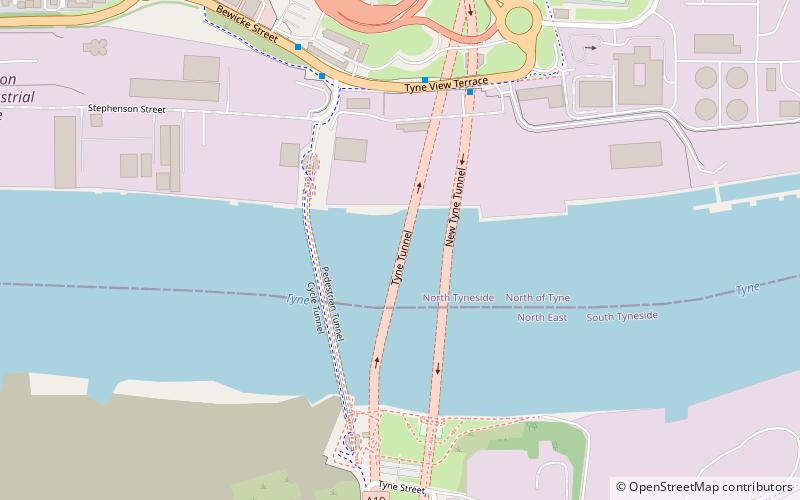
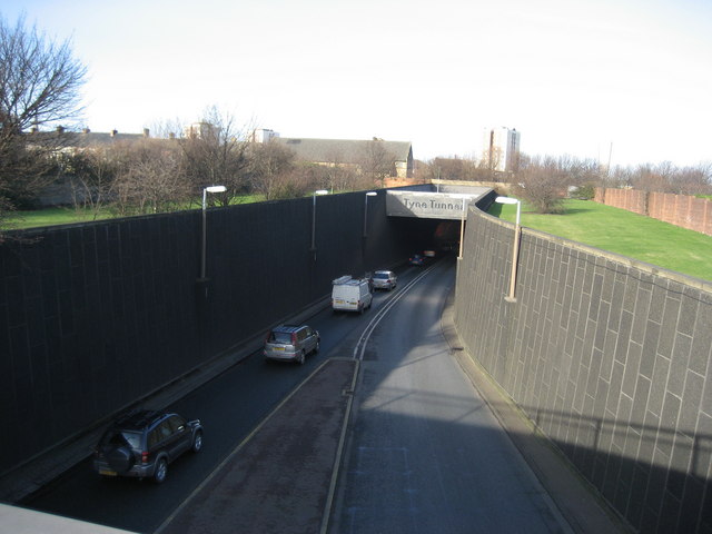
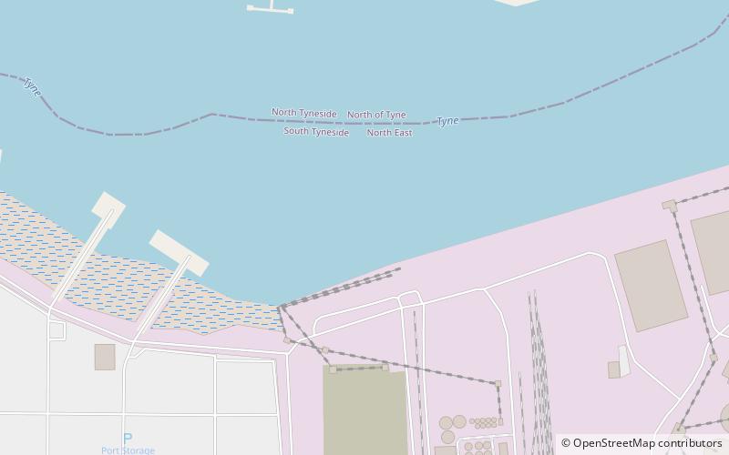
The Tyne Tunnel is the name given to two 2-lane vehicular toll tunnels under the River Tyne in North East England. Originally opened in 1967 and expanded in 2011, the tunnels connect the town of Jarrow on the south bank of the river with North Shields and Wallsend on the northern side. The tunnels are approximately 7 miles downstream, to the east of Newcastle upon Tyne. The Tyne Tunnel constitutes a part of the A19 road. ()
Coordinates: 54°59'16"N, 1°29'8"W
Address
Jarrow
ContactAdd
Social media
Add
Day trips
Tyne Tunnel – popular in the area (distance from the attraction)
Nearby attractions include: Wet N Wild, Royal Quays, Jarrow Bridge, Town Hall.
Frequently Asked Questions (FAQ)
Which popular attractions are close to Tyne Tunnel?
Nearby attractions include Tyne cyclist and pedestrian tunnels, Jarrow (2 min walk), Town Hall, Jarrow (12 min walk), Jarrow Hall, South Tyneside (16 min walk), Jarrow Hall, Jarrow (16 min walk).


