Coram's Fields, London
Map
Gallery
Facts and practical information
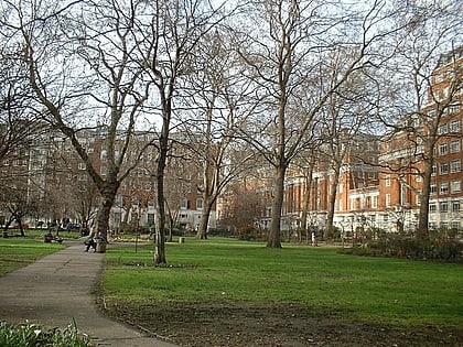
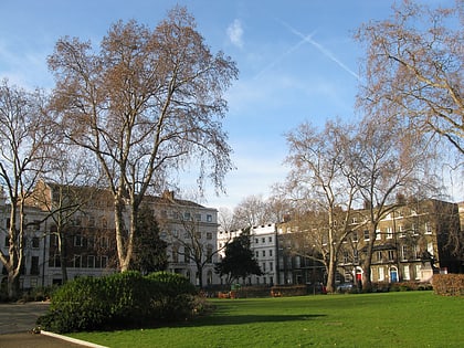
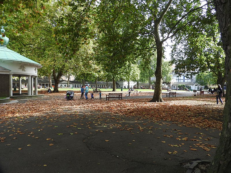
Coram's Fields is a large urban open space in the London borough of Camden in central London. It occupies seven acres in Bloomsbury and includes a children's playground, sand pits, a pets corner, café and nursery. Adults are only permitted to enter if accompanied by children. ()
Elevation: 98 ft a.s.l.Coordinates: 51°31'28"N, 0°7'12"W
Address
93 Guilford St, WC1N 1DNCamden (King's Cross)London
Contact
+44 20 7837 6138
Social media
Add
Day trips
Coram's Fields – popular in the area (distance from the attraction)
Nearby attractions include: British Museum, Foundling Museum, Charles Dickens Museum, Russell Square.
Frequently Asked Questions (FAQ)
Which popular attractions are close to Coram's Fields?
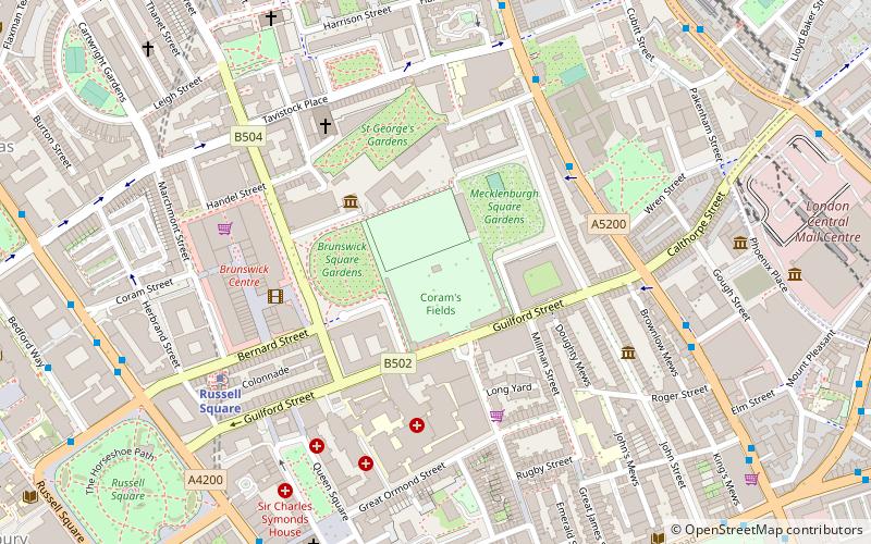
Nearby attractions include Goodenough College, London (3 min walk), Foundling Museum, London (3 min walk), Brunswick Square, London (3 min walk), St George's Gardens, London (4 min walk).
How to get to Coram's Fields by public transport?
The nearest stations to Coram's Fields:
Bus
Metro
Train
Ferry
Bus
- Heathcote Street • Lines: 17, 46 (5 min walk)
- Red Lion Street • Lines: 38, 55, N38, N55 (8 min walk)
Metro
- Russell Square • Lines: Piccadilly (6 min walk)
- King's Cross St Pancras • Lines: Circle, Hammersmith & City, Metropolitan, Northern, Piccadilly, Victoria (12 min walk)
Train
- London King's Cross (15 min walk)
- London St. Pancras International (16 min walk)
Ferry
- Blackfriars Pier • Lines: Rb6 (32 min walk)
- Bankside Pier • Lines: Green Tour, Rb1, Rb1X, Rb2 (38 min walk)

 Tube
Tube

