Canary Wharf Pier, London
Map

Gallery

Facts and practical information
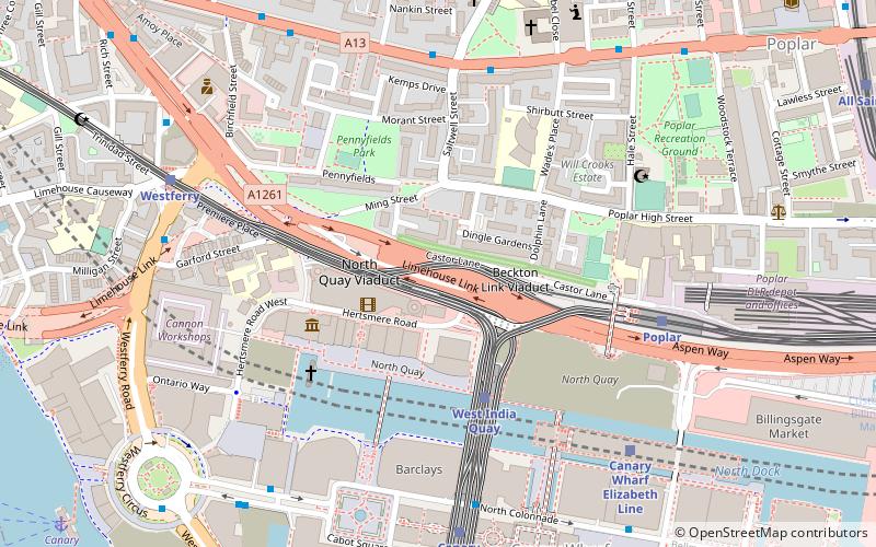
Canary Wharf is a London River Services pier on the River Thames in Canary Wharf, London. It is located next to Westferry Circus. ()
Coordinates: 51°30'19"N, 0°1'44"W
Address
Tower Hamlets (Isle of Dogs)London
ContactAdd
Social media
Add
Day trips
Canary Wharf Pier – popular in the area (distance from the attraction)
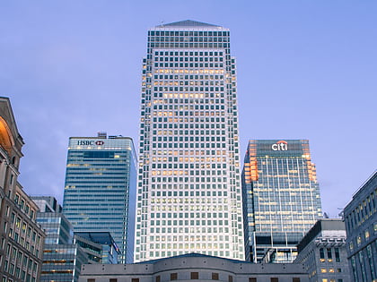
Nearby attractions include: One Canada Square, Limehouse Basin, The Grapes, Museum of London Docklands.
Frequently Asked Questions (FAQ)
Which popular attractions are close to Canary Wharf Pier?
Nearby attractions include Landmark Pinnacle, London (6 min walk), Statue of Robert Milligan, London (7 min walk), 20 Bank Street, London (7 min walk), Museum of London Docklands, London (7 min walk).
How to get to Canary Wharf Pier by public transport?
The nearest stations to Canary Wharf Pier:
Ferry
Bus
Light rail
Metro
Train
Ferry
- Canary Wharf • Lines: Rb1, Rb1X, Rb4, Rb6 (1 min walk)
- Doubletree Docklands Nelson Dock • Lines: Rb4 (4 min walk)
Bus
- Westferry Circus / Canary Wharf Pier • Lines: 277, N277 (3 min walk)
- West India Avenue • Lines: 277, N277 (5 min walk)
Light rail
- Westferry Platform 1 • Lines: B-L, B-Wa, Tg-B (8 min walk)
- Canary Wharf Platforms 5 & 6 • Lines: B-L, S-L (9 min walk)
Metro
- Canary Wharf • Lines: Jubilee (12 min walk)
- Canada Water • Lines: Jubilee (27 min walk)
Train
- Limehouse (18 min walk)
- Rotherhithe (27 min walk)

 Tube
Tube


