Weoley, Birmingham

Map
Facts and practical information
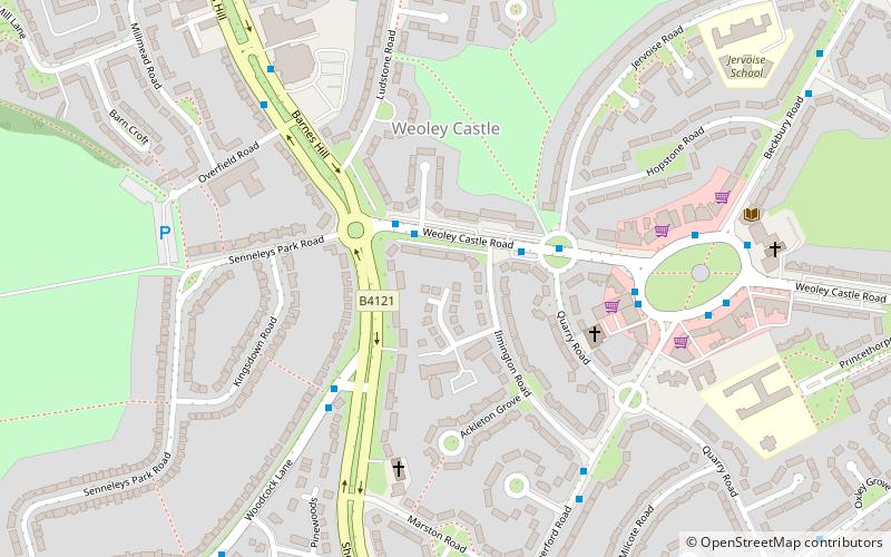
The Weoley local council ward is one of the 40 electoral wards for the City of Birmingham, England. It is also one of the four wards that make up the local council constituency of Birmingham Northfield, the other three being the wards of Northfield, Longbridge and King's Norton. ()
Coordinates: 52°26'15"N, 1°58'29"W
Address
WeoleyBirmingham
ContactAdd
Social media
Add
Day trips
Weoley – popular in the area (distance from the attraction)
Nearby attractions include: Selly Oak Park, Senneleys Park, Woodbrooke, Weoley Castle.
Frequently Asked Questions (FAQ)
Which popular attractions are close to Weoley?
Nearby attractions include St Gabriel's Church, Birmingham (5 min walk), Weoley Castle, Birmingham (6 min walk), Weoley Castle, Birmingham (11 min walk), Senneleys Park, Birmingham (12 min walk).
How to get to Weoley by public transport?
The nearest stations to Weoley:
Bus
Bus
- Bristol Road South / Bournville Lane • Lines: 63 (29 min walk)


