Roof-top synagogue, Brighton

Gallery (3)
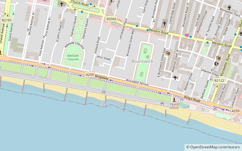
Map
Map
Gallery
Facts and practical information
The Roof-top synagogue was a private synagogue built on the roof of the home of Philip Salomons on the Regency-era Brunswick estate in Hove, now a constituent part of the English city of Brighton and Hove. It is a small octagonal edifice on the top of a glass room forming part of the fourth floor, in reference to the Dome of the Rock in Jerusalem. ()
Coordinates: 50°49'25"N, 0°9'39"W
Address
Brunswick and AdelaideBrighton
ContactAdd
Social media
Add
Getting there by public transportation
Public transportation stops near this location
- Bus
- Train
 Bus
Bus
- Calculate routeBrunswick Place 5 min walk
- Calculate routePalmeira Square 6 min walk
- Calculate routeNorfolk Square 7 min walk
- Calculate routeHove 24 min walk
- Calculate routeBrighton 25 min walk
- Calculate routeAldrington 33 min walk
- Calculate routeLondon Road 36 min walk
Day trips


Frequently Asked Questions (FAQ)
Which popular attractions are close to Roof-top synagogue?
Nearby attractions include Regency Town House, Brighton (4 min walk), The Old Market, Brighton (5 min walk), Adelaide Crescent, Brighton (5 min walk), St Andrew's Church, Brighton (5 min walk).
How to get to Roof-top synagogue by public transport?
The nearest stations to Roof-top synagogue:
Bus
Train
Bus
- Brunswick Place • Lines: 1, 1A, 2, 21, 25, 46, 49, 5, 5A, 5B, 6, 60, 700, 71, N1, N5 (5 min walk)
- Palmeira Square • Lines: 1, 1A, 2, 21, 25, 46, 49, 5, 5A, 5B, 6, 60, 700, 71, N1, N5 (6 min walk)
Train
- Hove (24 min walk)
- Brighton (25 min walk)