Sloane Square, London

Facts and practical information
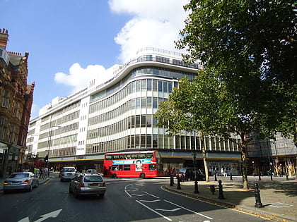
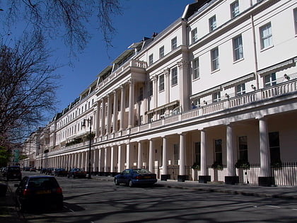
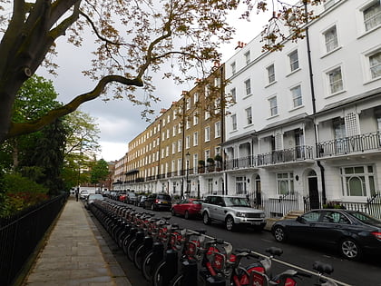
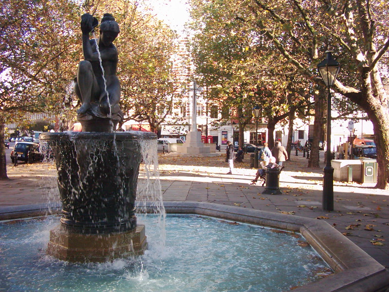
Sloane Square is a small hard-landscaped square on the boundaries of the central London districts of Belgravia and Chelsea, located 1.8 miles southwest of Charing Cross, in the Royal Borough of Kensington and Chelsea. The area forms a boundary between the two largest aristocratic estates in London, the Grosvenor Estate and the Cadogan. The square was formerly known as 'Hans Town', laid out in 1771 to a plan of by Henry Holland Snr. and Henry Holland Jnr. Both the square and Hans Town were named after Sir Hans Sloane, an Anglo-Irish doctor who, jointly with his appointed trustees, owned the land at the time. ()
Sloane Square – popular in the area (distance from the attraction)
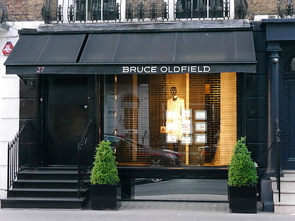
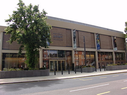
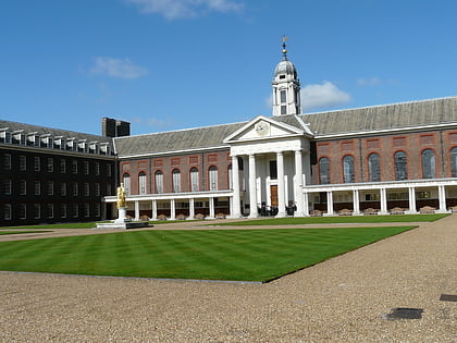
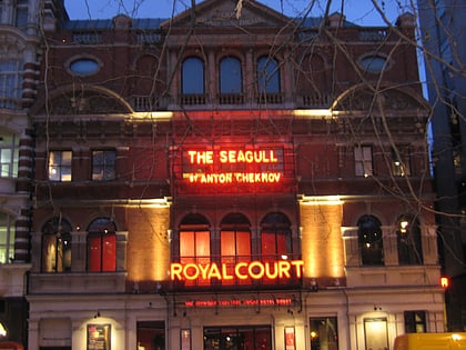
Nearby attractions include: Saatchi Gallery, Sloane Street, Beauchamp Place, National Army Museum.
Frequently Asked Questions (FAQ)
Which popular attractions are close to Sloane Square?
How to get to Sloane Square by public transport?
Metro
- Sloane Square (2 min walk)
- Knightsbridge • Lines: Piccadilly (17 min walk)
Bus
- Royal Hospital Road • Lines: 11, 137, 211, 360, 452, N11, N137 (5 min walk)
- Chelsea Bridge Road • Lines: 11, 170, 211, N11 (5 min walk)
Train
- London Victoria (15 min walk)
- Battersea Park (29 min walk)
Ferry
- Battersea Power Station Pier • Lines: Rb1, Rb2, Rb6 (20 min walk)
- Cadogan Pier • Lines: Rb6 (20 min walk)

 Tube
Tube

