Church of St Michael, Reading
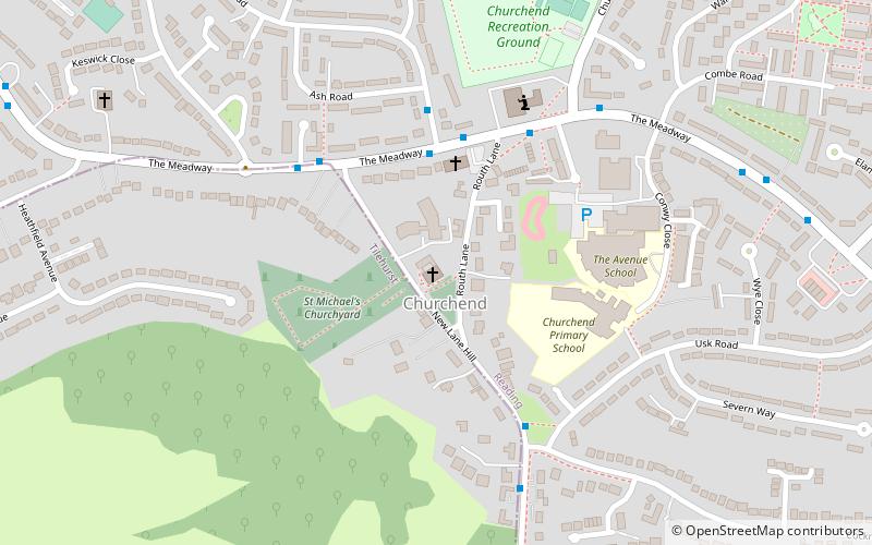
Map

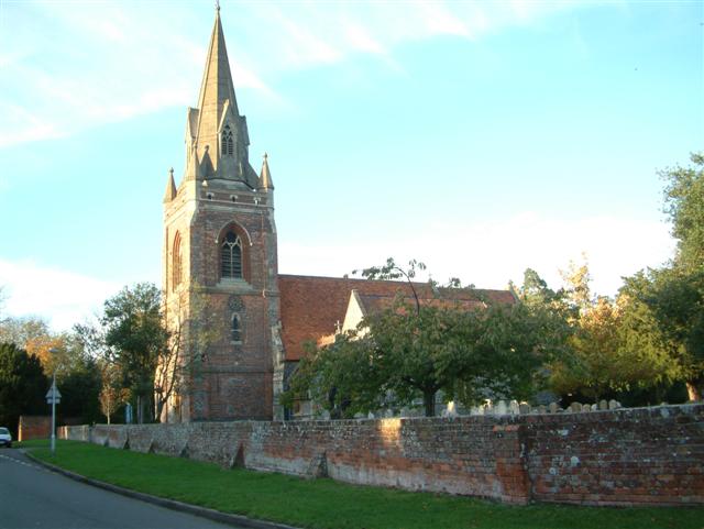
Gallery

Facts and practical information
St. Michael's Church, Tilehurst, is the parish church of Tilehurst in the English county of Berkshire. It is a parish of the Church of England in the Diocese of Oxford. ()
Coordinates: 51°27'5"N, 1°1'55"W
Day trips
Church of St Michael – popular in the area (distance from the attraction)
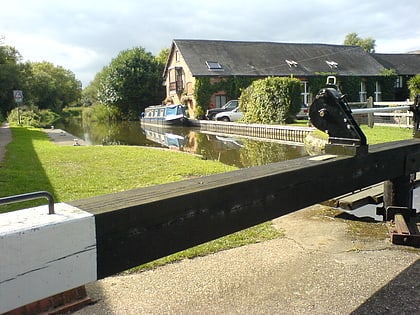
Nearby attractions include: Calcot Park, Oxford Road, Southcote Lock, Prospect Park.
Frequently Asked Questions (FAQ)
Which popular attractions are close to Church of St Michael?
Nearby attractions include Blundells Copse, Reading (9 min walk), Lousehill Copse, Reading (15 min walk), Tilehurst Water Tower, Reading (17 min walk), Round Copse, Moor Copse (19 min walk).
How to get to Church of St Michael by public transport?
The nearest stations to Church of St Michael:
Bus
Bus
- Greenwood Road • Lines: 1 (15 min walk)
- Church End Lane • Lines: 17 (14 min walk)


