St John's, Worcester

Gallery (1)
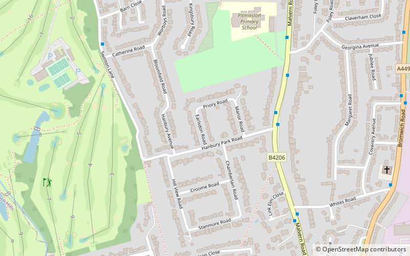
Map
Map
Facts and practical information
St John's is a suburb of Worcester, England, lying west of the city centre and the River Severn. St. John's is referred to locally as the "Village in the City", which is partly due to being an independent township, before joining the city in 1837. Although there is still a strong sense of pride and identity within the community. ()
Coordinates: 52°10'48"N, 2°14'24"W
Address
Worcester
ContactAdd
Social media
Add
Getting there by public transportation
Public transportation stops near this location
- Bus
- Train
 Bus
Bus
- Calculate routeHanbury Park Road 4 min walk
- Calculate routePitmaston School 5 min walk
- Calculate routeWhites Road 6 min walk
- Calculate routeWinchester Avenue 8 min walk
- Calculate routeWorcester Foregate Street 35 min walk
Day trips


Frequently Asked Questions (FAQ)
Which popular attractions are close to St John's?
Nearby attractions include Diglis Basin, Worcester (22 min walk), Fort Royal Hill, Worcester (23 min walk).
How to get to St John's by public transport?
The nearest stations to St John's:
Bus
Train
Bus
- Hanbury Park Road • Lines: 43, 44, S43, S44 (4 min walk)
- Pitmaston School • Lines: 43, 44, S43, S44 (5 min walk)
Train
- Worcester Foregate Street (35 min walk)