St Paul's Church and Centre, Sheffield
Map

Map

Facts and practical information
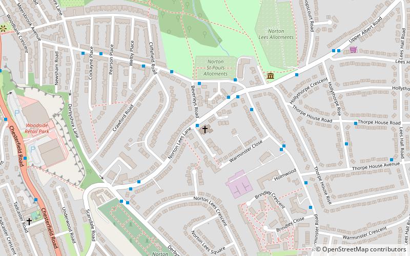
St Paul's Church and Centre is a Parish Church in the Church of England Diocese of Sheffield located at the junction of Norton Lees Lane and Angerford Avenue, just above Meersbrook Park. ()
Completed: 1877 (149 years ago)Coordinates: 53°20'60"N, 1°28'23"W
Day trips
St Paul's Church and Centre – popular in the area (distance from the attraction)
Nearby attractions include: Sheaf House Stadium, Bishops' House, Abbeydale Picture House, Graves Park.
Frequently Asked Questions (FAQ)
Which popular attractions are close to St Paul's Church and Centre?
Nearby attractions include Bishops' House, Sheffield (4 min walk), Norton Cemetery, Sheffield (6 min walk), Meersbrook Park, Sheffield (7 min walk), Chesterfield Road, Sheffield (9 min walk).
How to get to St Paul's Church and Centre by public transport?
The nearest stations to St Paul's Church and Centre:
Bus
Tram
Bus
- Norton Lees Road/Beverleys Road • Lines: 20 (2 min walk)
- Warminster Road/Norton Lees Lane • Lines: 20 (3 min walk)
Tram
- Arbourthorne Road • Lines: Blue, Purp (36 min walk)


