Stechford and Yardley North, Birmingham
Map
Facts and practical information
Stechford and Yardley North is one of the 40 electoral wards in Birmingham, England. ()
Coordinates: 52°28'15"N, 1°48'28"W
Address
Stechford and Yardley NorthBirmingham
ContactAdd
Social media
Add
Getting there by public transportation
Public transportation stops near this location
- Bus
- Train
 Bus
Bus
- Calculate routeCoventry Rd / Clay Lane 17 min walk
- Calculate routeSf 17 min walk
- Calculate routeSh 18 min walk
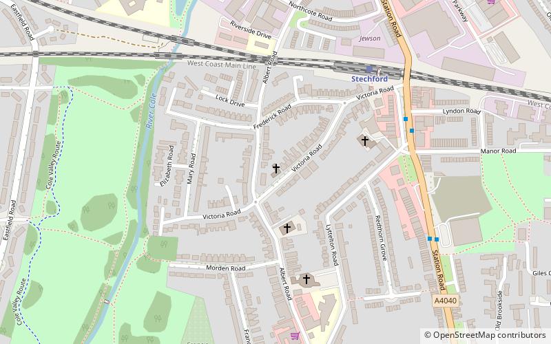
- Calculate routeStechford 26 min walk
- Calculate routeLea Hall 29 min walk
Day trips


Frequently Asked Questions (FAQ)
Which popular attractions are close to Stechford and Yardley North?
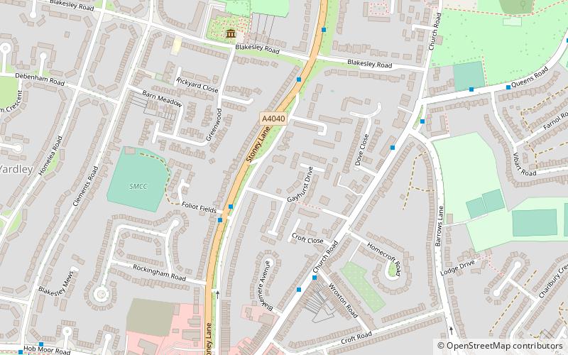
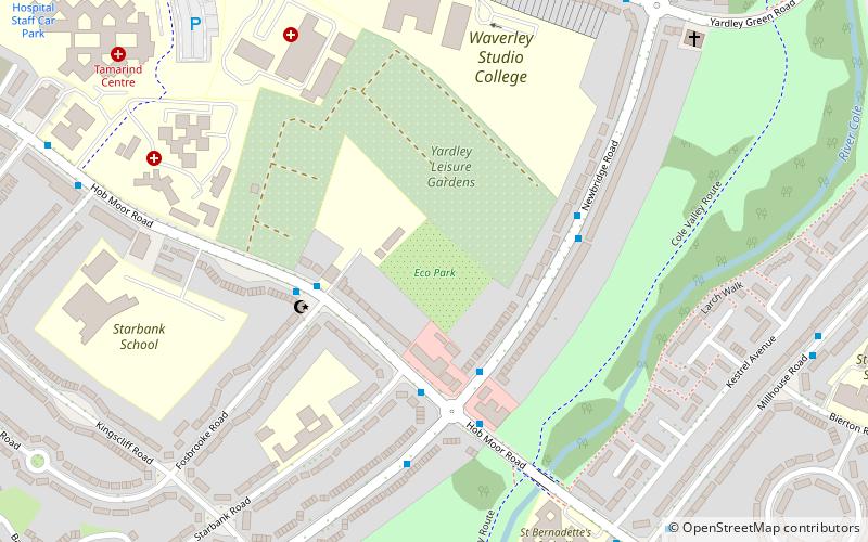
Nearby attractions include Blakesley Hall, Birmingham (5 min walk), St Edburgha's Church, Birmingham (9 min walk), Stechford Baptist Church, Birmingham (23 min walk), Birmingham EcoPark, Birmingham (24 min walk).
How to get to Stechford and Yardley North by public transport?
The nearest stations to Stechford and Yardley North:
Bus
Train
Bus
- Coventry Rd / Clay Lane • Lines: X1, X2 (17 min walk)
- Sf • Lines: X1, X2 (17 min walk)
Train
- Stechford (26 min walk)
- Lea Hall (29 min walk)