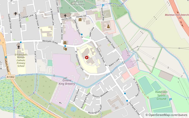
Æthelred I of East Anglia, Bury St Edmunds
Map
Facts and practical information
Æthelred I was a semi-historical eighth-century king of East Anglia, an Anglo-Saxon kingdom which today includes the English counties of Norfolk and Suffolk. He may have ruled between 760 and 790, holding the kingdom of the East Angles during the overlordship of Offa of Mercia. ()
Address
Bury St Edmunds
ContactAdd
Social media
Add
Getting there by public transportation
Public transportation stops near this location
- Bus
- Train
 Bus
Bus
- Calculate routeTheatre Royal 4 min walk
- Calculate routeGovernment Offices 5 min walk
- Calculate routeSt Edmunds RC Primary 8 min walk
- Calculate routeAlbert Buildings 11 min walk
- Calculate routeBury St Edmunds 26 min walk
Day trips


Frequently Asked Questions (FAQ)
Which popular attractions are close to Æthelred I of East Anglia?
Nearby attractions include Theatre Royal, Bury St Edmunds (4 min walk), St Mary's Church, Bury St Edmunds (6 min walk), St Edmund's Church, Bury St Edmunds (8 min walk), St Edmundsbury Cathedral, Bury St Edmunds (8 min walk).
How to get to Æthelred I of East Anglia by public transport?
The nearest stations to Æthelred I of East Anglia:
Bus
Train
Bus
- Theatre Royal • Lines: M11 (4 min walk)
- Government Offices • Lines: M11 (5 min walk)
Train
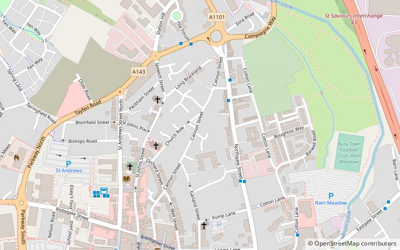
- Bury St Edmunds (26 min walk)