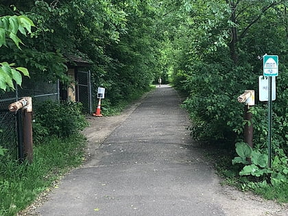
Fort Snelling, Saint Paul
Map
Gallery
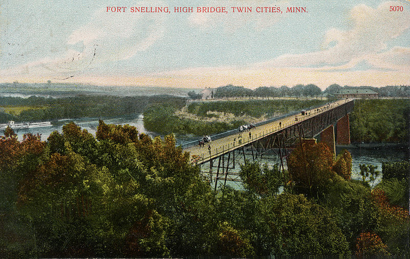
Facts and practical information
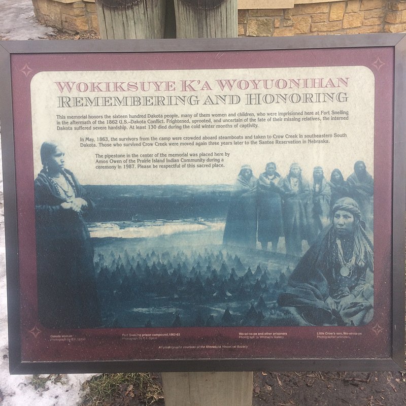
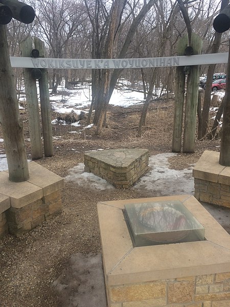
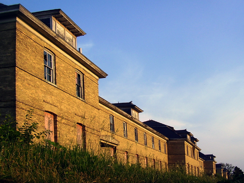
Fort Snelling is a former military fortification and National Historic Landmark in the U.S. state of Minnesota on the bluffs overlooking the confluence of the Minnesota and Mississippi Rivers. The military site was initially named Fort Saint Anthony, but it was renamed Fort Snelling once its construction was completed in 1825. ()
Address
200 Tower AveFort SnellingSaint Paul 55111-4037
Contact
+1 612-726-1171
Social media
Add
Day trips
Fort Snelling – popular in the area (distance from the attraction)
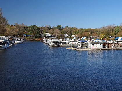
Nearby attractions include: Watergate Marina, Mendota Bridge, Fort Road Bridge, Minnehaha Trail.
Frequently Asked Questions (FAQ)
Which popular attractions are close to Fort Snelling?
Nearby attractions include Fort Road Bridge, Saint Paul (4 min walk), Mendota Bridge, Saint Paul (11 min walk), Watergate Marina, Saint Paul (13 min walk), Sibley Historic Site, Minneapolis (21 min walk).
How to get to Fort Snelling by public transport?
The nearest stations to Fort Snelling:
Bus
Light rail
Bus
- Gannon Road & Edgcumbe Road • Lines: 84 (10 min walk)
- Davern Street & Shepard Road • Lines: 84 (13 min walk)
Light rail
- Fort Snelling • Lines: 901 (22 min walk)
- VA Medical Center • Lines: 901 (33 min walk)


