Fort Road Bridge, Saint Paul
Map

Gallery

Facts and practical information
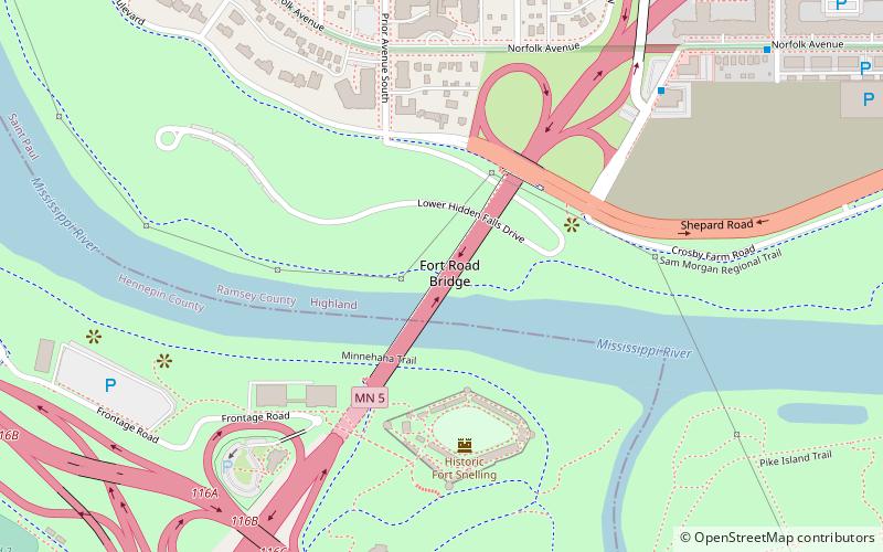
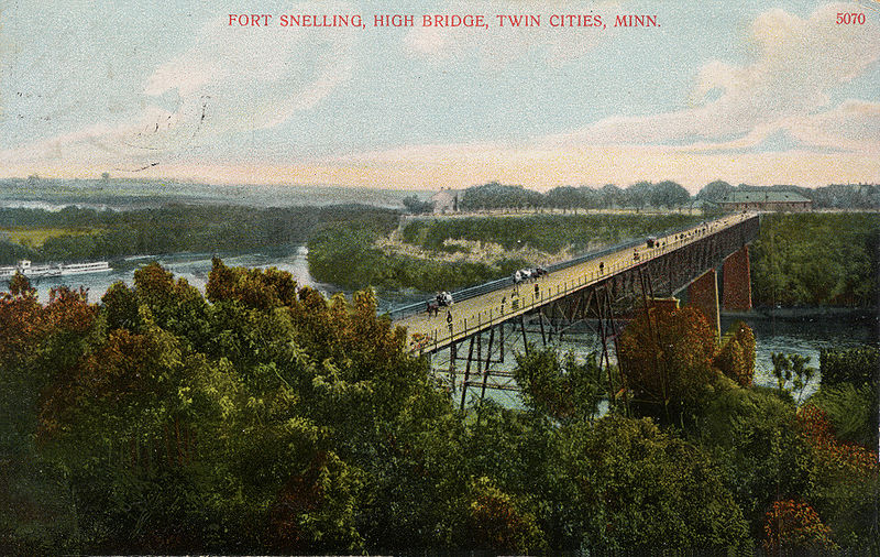
Fort Road Bridge is a girder bridge that spans the Mississippi River between Saint Paul, and Fort Snelling, Minnesota, United States. It was built in 1960 by the Minnesota Department of Transportation and was designed by Sverdrup & Parcel Engineering Company. It is the third bridge on the site. The first bridge, a deck girder bridge, was built in 1880. The second bridge, a metal arch bridge, was built by 1912. ()
Opened: 1961 (65 years ago)Coordinates: 44°53'42"N, 93°10'52"W
Day trips
Fort Road Bridge – popular in the area (distance from the attraction)
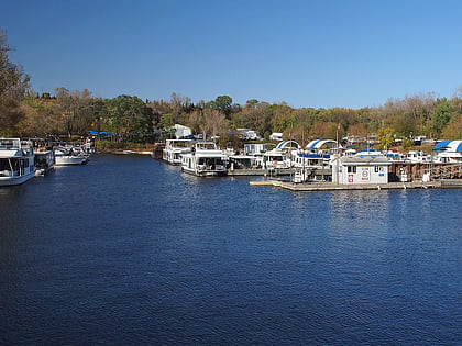
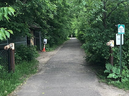
Nearby attractions include: Fort Snelling, Watergate Marina, Mendota Bridge, Minnehaha Trail.
Frequently Asked Questions (FAQ)
Which popular attractions are close to Fort Road Bridge?
Nearby attractions include Fort Snelling, Saint Paul (4 min walk), Watergate Marina, Saint Paul (13 min walk), Mendota Bridge, Saint Paul (14 min walk), Coldwater Spring, Minneapolis (21 min walk).
How to get to Fort Road Bridge by public transport?
The nearest stations to Fort Road Bridge:
Bus
Light rail
Bus
- Gannon Road & Edgcumbe Road • Lines: 84 (7 min walk)
- Davern Street & Shepard Road • Lines: 84 (12 min walk)
Light rail
- Fort Snelling • Lines: 901 (22 min walk)
- VA Medical Center • Lines: 901 (30 min walk)


