Minnehaha Trail, Minneapolis

Gallery (1)
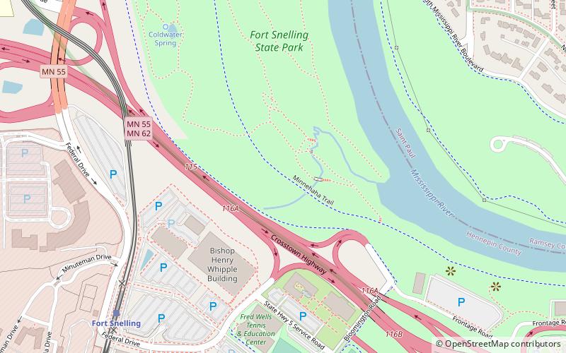
Map
Map
Facts and practical information
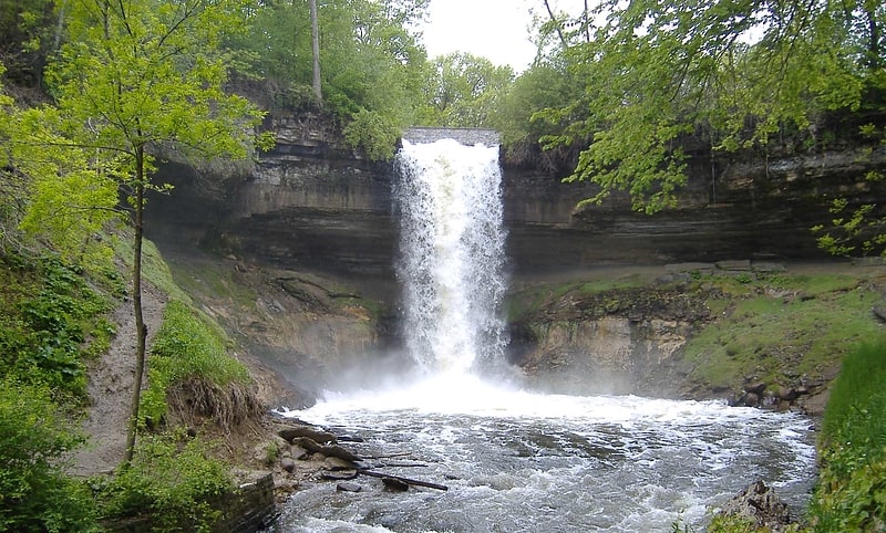
Minnehaha Trail is a 1.5-mile paved, multi-use trail in Minneapolis, Minnesota, United States, that connects Minnehaha Regional Park and Fort Snelling State Park – two of the most popular recreation destinations in the Twin Cities metro area. The trail is considered a segment of a longer, loosely connected bicycle route system along the Mississippi River. Users of Minnehaha Trail traverse under a forest canopy. The trail received local recognition for its natural beauty, but it was criticized for its worn pavement and lack of signage. ()
Season: All yearCoordinates: 44°53'46"N, 93°11'35"W
Address
Fort SnellingMinneapolis
ContactAdd
Social media
Add
Getting there by public transportation
Public transportation stops near this location
- Bus
- Light rail
 Bus
Bus
- Calculate routeFort Snelling 9 min walk
- Calculate routeVA Medical Center 17 min walk
- Calculate routeTerminal 1 - Lindbergh 32 min walk
- Calculate route50th Street/Minnehaha Park 36 min walk
- Calculate routeGannon Road & Edgcumbe Road 21 min walk
- Calculate routeNorfolk Avenue & Wheeler Street 23 min walk
- Calculate routeSaint Paul Avenue & Quirnia Avenue 24 min walk
Day trips


Frequently Asked Questions (FAQ)
Which popular attractions are close to Minnehaha Trail?
Nearby attractions include Coldwater Spring, Minneapolis (8 min walk), Fort Road Bridge, Saint Paul (15 min walk), Fort Snelling, Saint Paul (17 min walk).
How to get to Minnehaha Trail by public transport?
The nearest stations to Minnehaha Trail:
Light rail
Bus
Light rail
- Fort Snelling • Lines: 901 (9 min walk)
- VA Medical Center • Lines: 901 (17 min walk)
Bus
- Gannon Road & Edgcumbe Road • Lines: 84 (21 min walk)
- Norfolk Avenue & Wheeler Street • Lines: 84 (23 min walk)