William and Catherine Davern Farm House, Saint Paul
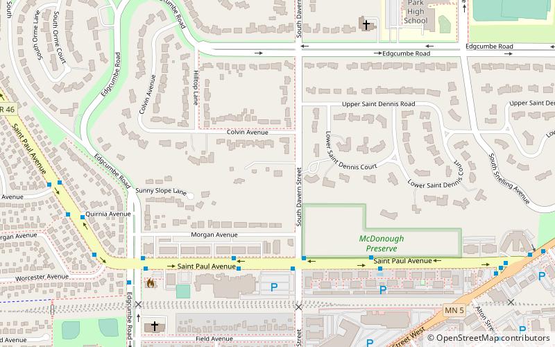
Map

Map

Facts and practical information
The William and Catherine Davern Farm House is an Italianate farmhouse built in 1862 in Saint Paul, Minnesota, United States. It is one of a small number of surviving farmhouses in Saint Paul. William Davern was a member of the first territorial legislature. The house is listed on the National Register of Historic Places. ()
Coordinates: 44°54'22"N, 93°10'22"W
Address
HighlandSaint Paul
ContactAdd
Social media
Add
Day trips
William and Catherine Davern Farm House – popular in the area (distance from the attraction)
Nearby attractions include: Fort Snelling, Highland Park Aquatic Center, Watergate Marina, Crosby Farm.
Frequently Asked Questions (FAQ)
Which popular attractions are close to William and Catherine Davern Farm House?
Nearby attractions include Watergate Marina, Saint Paul (20 min walk), Highland Park Tower, Saint Paul (22 min walk), Fort Road Bridge, Saint Paul (23 min walk).
How to get to William and Catherine Davern Farm House by public transport?
The nearest stations to William and Catherine Davern Farm House:
Bus
Bus
- Saint Paul Avenue & Davern Street • Lines: 84 (4 min walk)


