Bruce Vento Nature Sanctuary, Saint Paul
Map
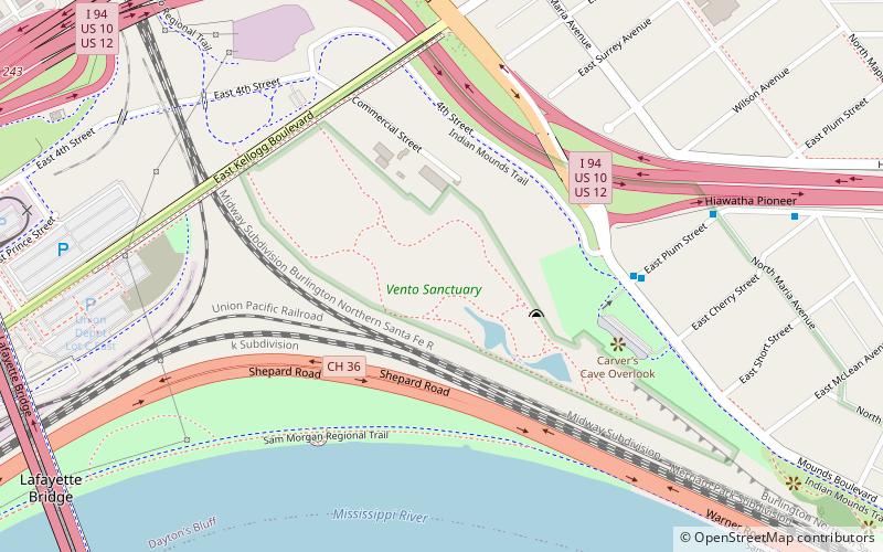
Map

Facts and practical information
The Bruce Vento Nature Sanctuary is a city park in the Mississippi River corridor in Saint Paul, Minnesota. Just east of the city's downtown district, the sanctuary includes towering limestone and sandstone bluffs that date back more than 450 million years, spring-fed wetlands, abundant bird life, and dramatic views of the downtown Saint Paul skyline and Mississippi River. The park was opened to the public on May 21, 2005, and was named after its early supporter U.S. Representative Bruce Vento. ()
Created: 2005Elevation: 705 ft a.s.l.Coordinates: 44°57'3"N, 93°4'20"W
Address
Dayton's BluffSaint Paul
ContactAdd
Social media
Add
Day trips
Bruce Vento Nature Sanctuary – popular in the area (distance from the attraction)
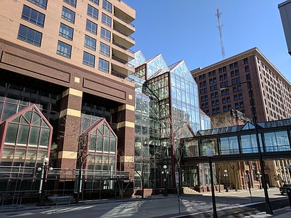
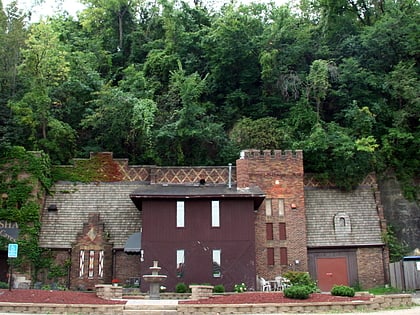
Nearby attractions include: Cray Plaza, CHS Field, Wabasha Street Caves, Vertical Endeavors.
Frequently Asked Questions (FAQ)
Which popular attractions are close to Bruce Vento Nature Sanctuary?
Nearby attractions include Shepard Road/Warner Road, Saint Paul (5 min walk), Bruce Vento Nature Sanctuary, Saint Paul (8 min walk), Schornstein Grocery and Saloon, Saint Paul (9 min walk), Euclid View Flats, Saint Paul (10 min walk).
How to get to Bruce Vento Nature Sanctuary by public transport?
The nearest stations to Bruce Vento Nature Sanctuary:
Bus
Train
Light rail
Bus
- 3rd Street & Maria Avenue • Lines: 63 (8 min walk)
- Kellogg Boulevard & Broadway Street • Lines: 351, 351H, 353, 363, 63 (15 min walk)
Train
- Saint Paul Union Depot (18 min walk)
Light rail
- Union Depot • Lines: 902 (19 min walk)
- Central Station • Lines: 902 (27 min walk)

