Lafayette Bridge, Saint Paul
Map

Map

Facts and practical information
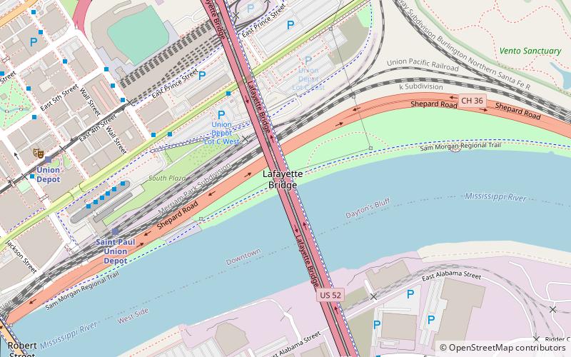
The Lafayette Bridge is a bridge carrying U.S. Route 52 across the Mississippi River in downtown Saint Paul, Minnesota. At this point, US 52 is on the Lafayette Freeway. The bridge spans across railroad yards north of the Mississippi, the river itself, and industrial areas south of the Mississippi. The Lafayette Bridge is one of the longest Mississippi River bridges in the Twin Cities. ()
Opened: 2015 (11 years ago)Coordinates: 44°56'52"N, 93°4'47"W
Address
Dayton's BluffSaint Paul
ContactAdd
Social media
Add
Day trips
Lafayette Bridge – popular in the area (distance from the attraction)
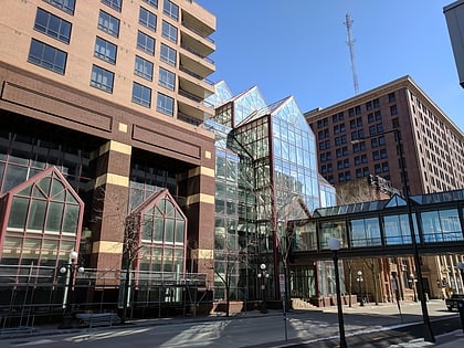
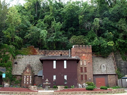
Nearby attractions include: Cray Plaza, CHS Field, Wabasha Street Caves, Ordway Center for the Performing Arts.
Frequently Asked Questions (FAQ)
Which popular attractions are close to Lafayette Bridge?
Nearby attractions include Shepard Road/Warner Road, Saint Paul (6 min walk), Finch, Saint Paul (10 min walk), Bruce Vento Nature Sanctuary, Saint Paul (10 min walk), Bruce Vento Nature Sanctuary, Saint Paul (11 min walk).
How to get to Lafayette Bridge by public transport?
The nearest stations to Lafayette Bridge:
Bus
Train
Light rail
Bus
- Kellogg Boulevard & Broadway Street • Lines: 351, 351H, 353, 363, 63 (5 min walk)
- Jefferson Lines - Union Depot (7 min walk)
Train
- Saint Paul Union Depot (7 min walk)
Light rail
- Union Depot • Lines: 902 (9 min walk)
- Central Station • Lines: 902 (17 min walk)


