Minneapolis Skyway System, Minneapolis

Facts and practical information
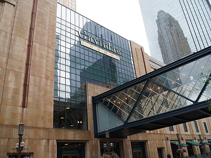
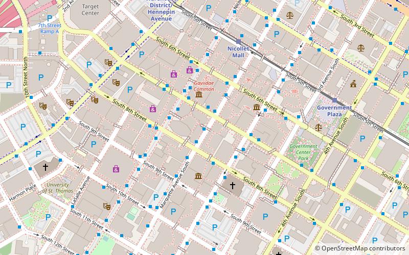
The Minneapolis Skyway System is an interlinked collection of enclosed pedestrian footbridges that connect various buildings in 80 full city blocks over 9.5 miles of Downtown Minneapolis, enabling people to walk in climate-controlled comfort year-round. The skyways are owned by individual buildings in Minneapolis, and as such they do not have uniform opening and closing times. The 11 miles of skyway are comparable to the Houston tunnel system, the systems in Canadian cities such as Toronto's PATH, Montreal's Underground City, Calgary's 11-mile +15 system and the 8-mile Edmonton Pedway system. ()
Minneapolis Skyway System – popular in the area (distance from the attraction)
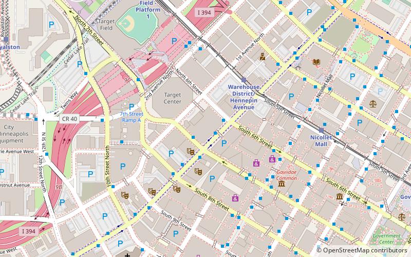
Nearby attractions include: Nicollet Mall, Dakota Jazz Club, Mayo Clinic Square, Gaviidae Common.
Frequently Asked Questions (FAQ)
Which popular attractions are close to Minneapolis Skyway System?
How to get to Minneapolis Skyway System by public transport?
Bus
- Marquette Avenue & 7th Street • Lines: 250C, 250M, 270 (1 min walk)
- Marquette Avenue & 8th Street • Lines: 781 (1 min walk)
Light rail
- Nicollet Mall • Lines: 901, 902 (5 min walk)
- Government Plaza • Lines: 901, 902 (7 min walk)
Train
- Target Field (15 min walk)


