Kent Island Research Facility, Kent Island

Map
Facts and practical information
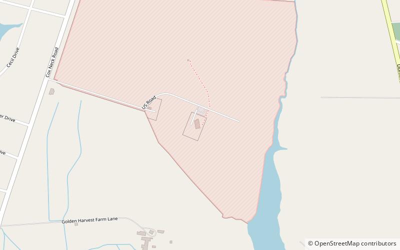
The Kent Island Research Facility is a U.S. National Security Agency facility located on Kent Island, Maryland, near the town of Chester. ()
Coordinates: 38°57'50"N, 76°17'10"W
Address
Kent Island
ContactAdd
Social media
Add
Day trips
Kent Island Research Facility – popular in the area (distance from the attraction)
Nearby attractions include: Cross Island Trail, Christ Church, Matapeake State Park, Castle Harbor Marina.


