Rockaway Freeway, New York City
Map

Map

Facts and practical information
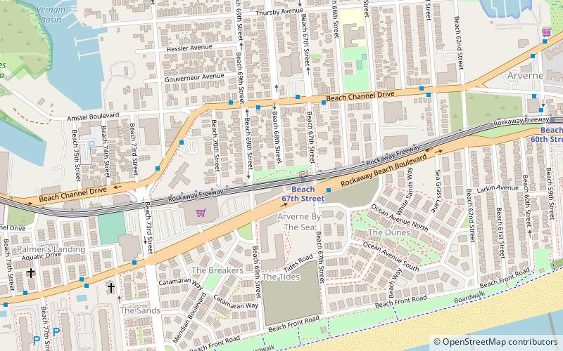
The Rockaway Freeway is a road in the New York City borough of Queens that was created from the old right-of-way of the Long Island Rail Road Rockaway Division in 1941–1942 as part of the project to eliminate grade crossings within New York City. The railroad line itself was elevated over the new automotive route, and was incorporated into the New York City Subway system as the IND Rockaway Line in June 1956. ()
Elevation: 3 ft a.s.l.Coordinates: 40°35'28"N, 73°47'49"W
Address
Rockaway Peninsula (Far Rockaway)New York City
ContactAdd
Social media
Add
Day trips
Rockaway Freeway – popular in the area (distance from the attraction)
Nearby attractions include: Rockaway Playland, Temple of Israel Synagogue, Cross Bay Veterans Memorial Bridge, Kohlreiter Square.
Frequently Asked Questions (FAQ)
Which popular attractions are close to Rockaway Freeway?
Nearby attractions include Kohlreiter Square, New York City (1 min walk), Temple of Israel Synagogue, New York City (19 min walk).
How to get to Rockaway Freeway by public transport?
The nearest stations to Rockaway Freeway:
Metro
Bus
Metro
- Beach 67th Street • Lines: A (1 min walk)
- Beach 60th Street • Lines: A (12 min walk)
Bus
- Cross Bay Boulevard & East 9th Road • Lines: Q52 Sbs, Q53 Sbs (41 min walk)

 Subway
 Manhattan Buses


