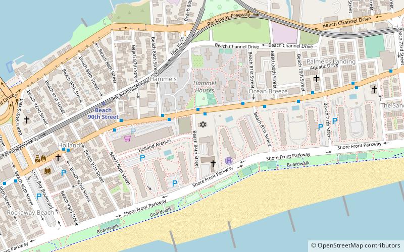
Temple of Israel Synagogue, New York City
Map

Map

Facts and practical information
Temple of Israel Synagogue is the name of a building "built in 1921 to replace an earlier synagogue that was destroyed by fire." At present it houses a non-denominational Pentecostal church. ()
Built: 1921 (105 years ago)Coordinates: 40°35'14"N, 73°48'34"W
Address
Rockaway Peninsula (Rockaway Beach)New York City
ContactAdd
Social media
Add
Day trips
Temple of Israel Synagogue – popular in the area (distance from the attraction)
Nearby attractions include: Rockaway Playland, Cross Bay Veterans Memorial Bridge, Kohlreiter Square, Rockaway Beach Boulevard.
Frequently Asked Questions (FAQ)
Which popular attractions are close to Temple of Israel Synagogue?
Nearby attractions include Cross Bay Veterans Memorial Bridge, New York City (16 min walk), Rockaway Beach Boulevard, New York City (18 min walk), Rockaway Freeway, New York City (19 min walk), Kohlreiter Square, New York City (19 min walk).
How to get to Temple of Israel Synagogue by public transport?
The nearest stations to Temple of Israel Synagogue:
Metro
Bus
Metro
- Beach 90th Street • Lines: A, S (6 min walk)
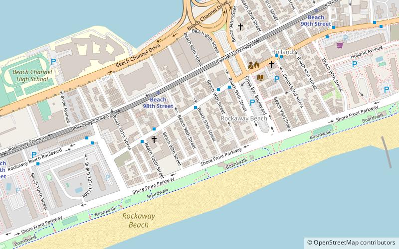
- Beach 98th Street • Lines: A, S (16 min walk)
Bus
- Cross Bay Bl / E 16 Rd • Lines: Q52 Sbs, Q53 Sbs (29 min walk)

 Subway
 Manhattan Buses


