Kohlreiter Square, New York City
Map

Map

Facts and practical information
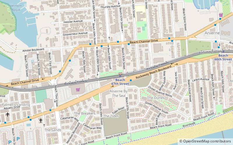
Kohlreiter Square is an 8.6-acre public green space located in the Arverne neighborhood on Rockaway Peninsula in Queens, New York. It located along the north side of Rockaway Freeway between Beach 67th and Beach 69th Streets. The park honors two generations of civic activists, Nathan A. Kohlreiter and his son Fred Kohlreiter who contributed to the political and social fabric of the neighborhood. ()
Elevation: 7 ft a.s.l.Coordinates: 40°35'28"N, 73°47'48"W
Address
Rockaway Peninsula (Far Rockaway)New York City
ContactAdd
Social media
Add
Day trips
Kohlreiter Square – popular in the area (distance from the attraction)
Nearby attractions include: Rockaway Playland, Temple of Israel Synagogue, Cross Bay Veterans Memorial Bridge, Rockaway Freeway.
Frequently Asked Questions (FAQ)
Which popular attractions are close to Kohlreiter Square?
Nearby attractions include Rockaway Freeway, New York City (1 min walk), Temple of Israel Synagogue, New York City (19 min walk).
How to get to Kohlreiter Square by public transport?
The nearest stations to Kohlreiter Square:
Metro
Metro
- Beach 67th Street • Lines: A (1 min walk)
- Beach 60th Street • Lines: A (11 min walk)

 Subway
 Manhattan Buses


