Sentinel Rock, Yosemite National Park
Map
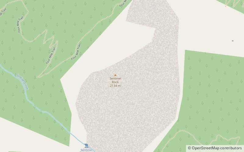
Map

Facts and practical information
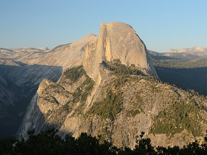
Sentinel Rock is a granitic peak in Yosemite National Park, California, United States. It towers over Yosemite Valley, opposite Yosemite Falls. Sentinel Rock lies 0.7 miles northwest of Sentinel Dome. ()
First ascent: 1950Elevation: 7038 ftCoordinates: 37°43'44"N, 119°35'38"W
Address
Yosemite National Park
ContactAdd
Social media
Add
Day trips
Sentinel Rock – popular in the area (distance from the attraction)
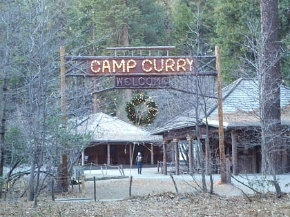
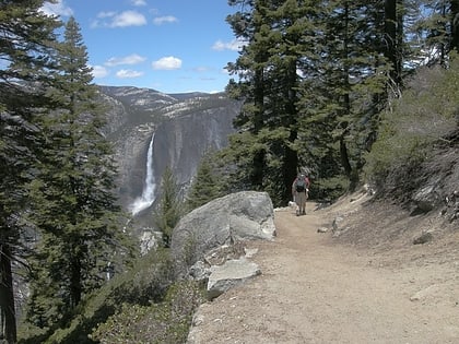
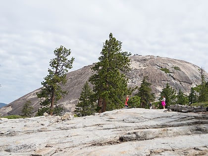
Nearby attractions include: Glacier Point, Curry Village, Four Mile Trail, Sentinel Dome.
Frequently Asked Questions (FAQ)
Which popular attractions are close to Sentinel Rock?
Nearby attractions include Sentinel Fall, Yosemite West (8 min walk), Yosemite Valley Bridges, Yosemite National Park (11 min walk), Four Mile Trail, Yosemite National Park (12 min walk), Swinging Bridge, Yosemite National Park (17 min walk).
How to get to Sentinel Rock by public transport?
The nearest stations to Sentinel Rock:
Bus
Bus
- El Cap Shuttle Stop #E6 • Lines: El Capitan Shuttle (15 min walk)
- Valley Shuttle Stop #7 • Lines: Yosemite Valley Shuttle (25 min walk)

