City Sprouts, Omaha
Map
Facts and practical information
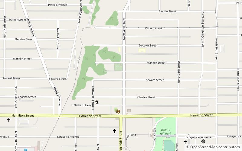
City Sprouts is a community garden, urban farm, and educational resource center in the Orchard Hill neighborhood of Omaha, Nebraska. Founded in 1995, City Sprouts is the oldest community garden in the city. The organization is registered as a 501 not-for profit entity. ()
Elevation: 1207 ft a.s.l.Coordinates: 41°16'27"N, 95°58'22"W
Address
Orchard HillOmaha
ContactAdd
Social media
Add
Getting there by public transportation
Public transportation stops near this location
- Bus
 Bus
Bus
- Calculate route50th & Dodge 35 min walk
- Calculate routePark Avenue & Douglas 36 min walk
Day trips


Frequently Asked Questions (FAQ)
Which popular attractions are close to City Sprouts?
Nearby attractions include Orchard Hill, Omaha (1 min walk), Lowe Avenue Presbyterian Church Omaha, Omaha (9 min walk), John A. Creighton Boulevard, Omaha (9 min walk), Bemis Park Landmark Heritage District, Omaha (10 min walk).
How to get to City Sprouts by public transport?
The nearest stations to City Sprouts:
Bus
Bus
- 50th & Dodge • Lines: 2 (35 min walk)
- Park Avenue & Douglas • Lines: 2 (36 min walk)