River City Building, Chicago
Map
Gallery
Facts and practical information
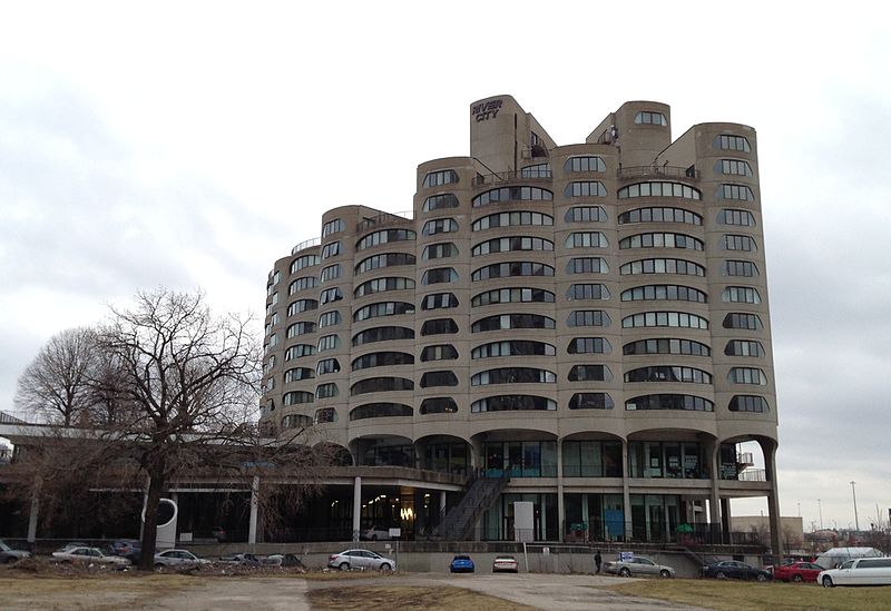
River City is a mixed-use building at 800 South Wells Street in Chicago, Illinois. It was designed by Bertrand Goldberg, to whose Marina City it bears clear affinities, and was completed in 1986 in the South Loop neighborhood of Chicago. ()
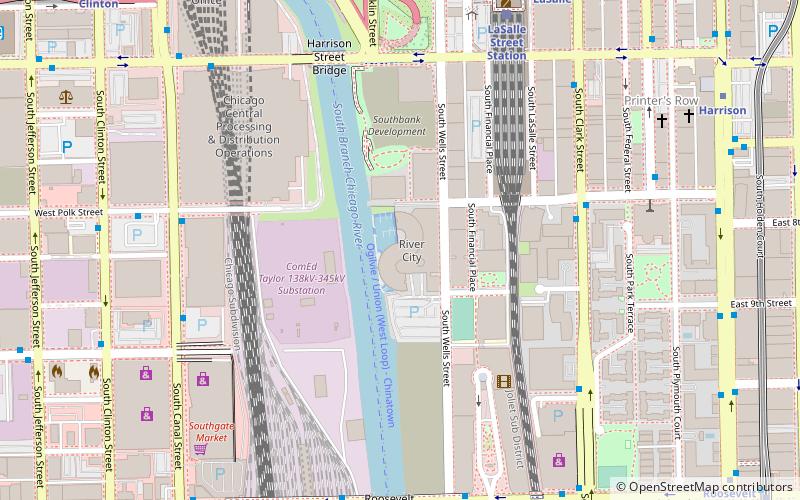
Completed: 1986 (40 years ago)Coordinates: 41°52'17"N, 87°38'4"W
Address
800 S Wells StDowntown (The Loop)Chicago
ContactAdd
Social media
Add
Day trips
River City Building – popular in the area (distance from the attraction)
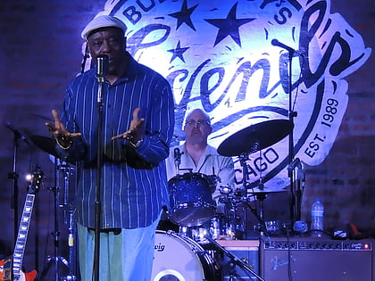
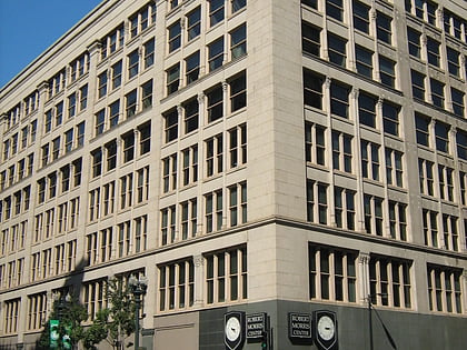
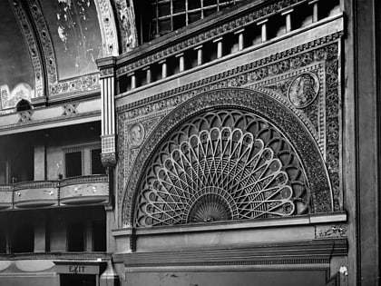
Nearby attractions include: Buddy Guy's Legends, Money Museum, Chicago Board of Trade, Second Leiter Building.
Frequently Asked Questions (FAQ)
Which popular attractions are close to River City Building?
Nearby attractions include South Loop Printing House District, Chicago (7 min walk), 425 South Financial Place, Chicago (7 min walk), Roosevelt Collection Shops, Chicago (8 min walk), Lakeside Press Building, Chicago (9 min walk).
How to get to River City Building by public transport?
The nearest stations to River City Building:
Bus
Train
Metro
Bus
- Clark & Polk • Lines: 24, 850, 851, 855 (6 min walk)
- Canal & Polk • Lines: 157 (7 min walk)
Train
- LaSalle Street Station (8 min walk)
- Chicago Union Station (15 min walk)
Metro
- LaSalle • Lines: Blue (9 min walk)
- LaSalle/Van Buren • Lines: Brown, Orange, Pink, Purple (11 min walk)

 Rail "L"