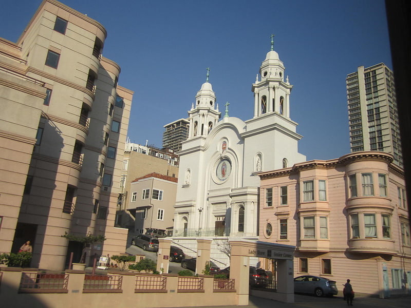
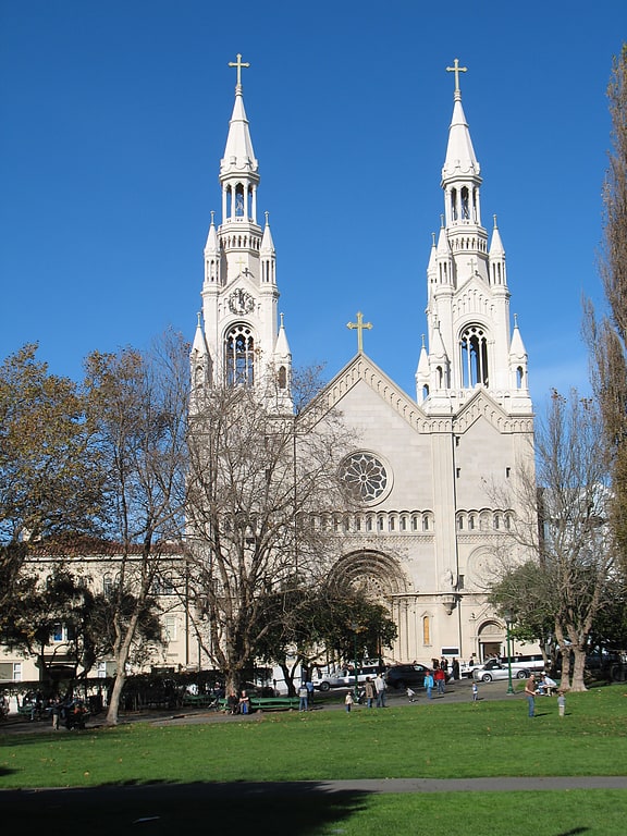
National Shrine of Saint Francis of Assisi, San Francisco

Facts and practical information
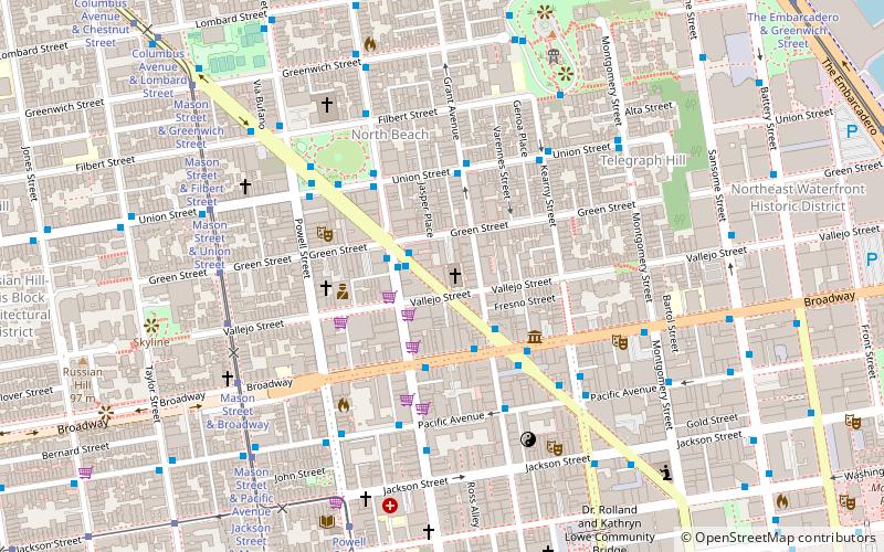
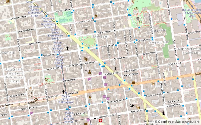
National Shrine of Saint Francis of Assisi (address: 610 Vallejo St) is a place located in San Francisco (California state) and belongs to the category of church, monuments and statues, sacred and religious sites.
It is situated at an altitude of 89 feet, and its geographical coordinates are 37°47'56"N latitude and 122°24'29"W longitude.
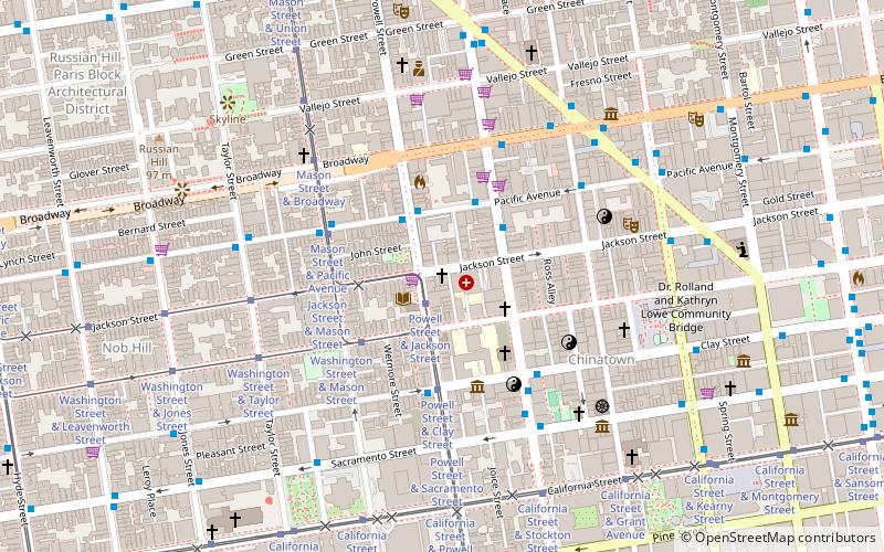
Planning a visit to this place, one can easily and conveniently get there by public transportation. National Shrine of Saint Francis of Assisi is a short distance from the following public transport stations: Stockton Street & Columbus Avenue (bus, 2 min walk), Stockton Street & Columbus Avenue (trolleybus, 2 min walk), Mason Street & Vallejo Street (tram, 6 min walk), Embarcadero (light rail, 19 min walk), Embarcadero (metro, 19 min walk), Pier 41 Gate 1 (ferry, 20 min walk).
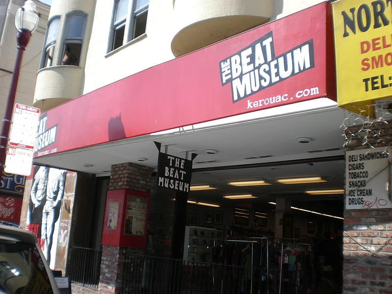
Among other places and attractions worth visiting in the area are: Barbary Coast Trail (hiking, 2 min walk), Keystone Korner (dancing, 3 min walk), Jack Kerouac Alley (street, 3 min walk).
610 Vallejo StNortheast San Francisco (North Beach)San Francisco 94133-3917
- Metro
- Bus
- Trolleybus
- Tram
- Light rail
- Ferry
 Metro
Metro
- Calculate routeStockton Street & Columbus Avenue 2 min walk
- Calculate routeBroadway & Stockton Street 3 min walk
- Calculate routePacific Avenue & Grant Avenue 4 min walk
- Calculate routeStockton Street & Columbus Avenue 2 min walk
- Calculate routeUnion Street & Columbus Avenue 4 min walk
- Calculate routeColumbus Avenue & Union Street 5 min walk
- Calculate routeMason Street & Vallejo Street 6 min walk
- Calculate routeMason Street & Green Street 6 min walk
- Calculate routeMason Street & Broadway 7 min walk
- Calculate routeMason Street & Union Street 7 min walk
- Calculate routeEmbarcadero 19 min walk
- Calculate routeMontgomery Street 20 min walk
- Calculate routePowell Street 26 min walk
- Calculate routeFolsom 31 min walk
- Calculate routeEmbarcadero 19 min walk
- Calculate routeMontgomery Street 20 min walk
- Calculate routePowell Street 26 min walk
- Calculate routePier 41 Gate 1 20 min walk
- Calculate routePier 41 Gate 2 20 min walk
- Calculate routeFerry Building Gate B 21 min walk
 Muni Metro
National Shrine of Saint Francis of Assisi – popular in the area (distance from the attraction)
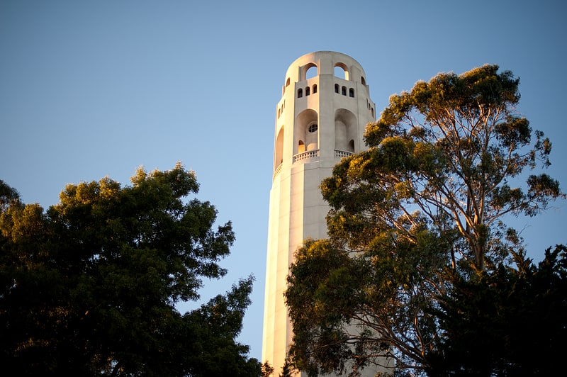
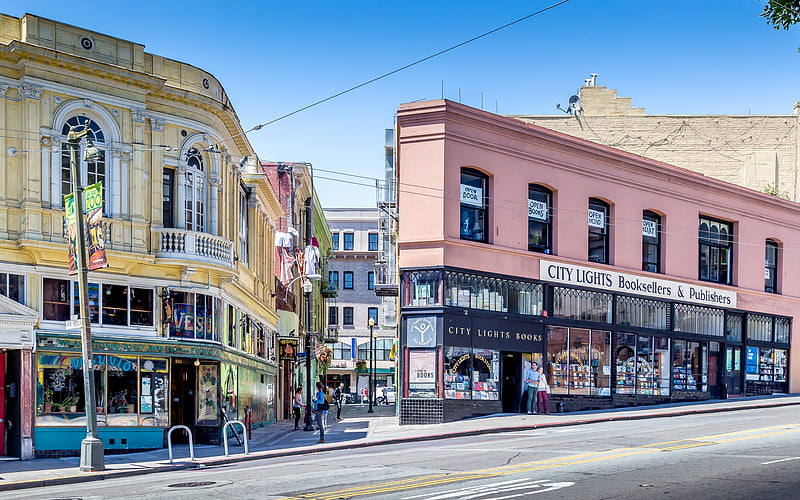
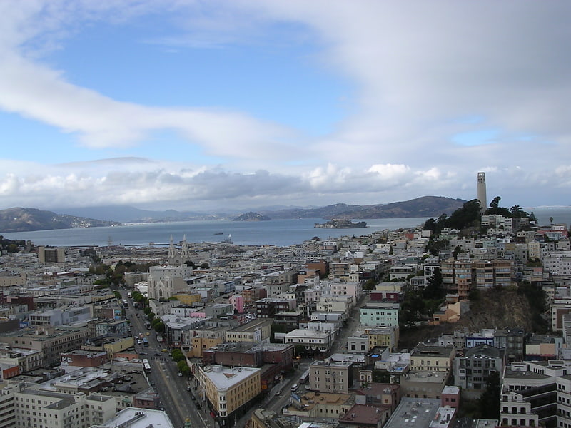
Nearby attractions include: Coit Tower, City Lights Bookstore, Nuestra Senora De Guadalupe Church, North Beach.
Frequently Asked Questions (FAQ)
Which popular attractions are close to National Shrine of Saint Francis of Assisi?
How to get to National Shrine of Saint Francis of Assisi by public transport?
Bus
- Stockton Street & Columbus Avenue • Lines: 30, 8, 91 (2 min walk)
- Broadway & Stockton Street • Lines: 12 (3 min walk)
Trolleybus
- Stockton Street & Columbus Avenue • Lines: 30, 45 (2 min walk)
- Union Street & Columbus Avenue • Lines: 45 (4 min walk)
Tram
- Mason Street & Vallejo Street (6 min walk)
- Mason Street & Green Street (6 min walk)
Light rail
- Embarcadero • Lines: K, N, S, T (19 min walk)
- Montgomery Street • Lines: K, N, S, T (20 min walk)
Metro
- Embarcadero • Lines: Blue, Green, Red, Yellow (19 min walk)
- Montgomery Street • Lines: Blue, Green, Red, Yellow (20 min walk)
Ferry
- Pier 41 Gate 1 • Lines: Blue & Gold Fleet (20 min walk)
- Pier 41 Gate 2 • Lines: Blue & Gold Fleet, San Francisco Bay Ferry (20 min walk)