Marquam Hill, Portland
Map

Gallery

Facts and practical information
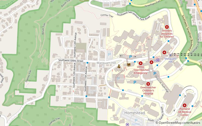
Marquam Hill is a populated hill located just south of Downtown Portland, Oregon, United States in the Homestead neighborhood. It is also called Pill Hill because it is home to Oregon Health & Science University, Portland VA Medical Center and Portland Shriners Hospital. ()
Coordinates: 45°29'56"N, 122°41'24"W
Address
Lair Hill (Homestead)Portland
ContactAdd
Social media
Add
Day trips
Marquam Hill – popular in the area (distance from the attraction)
Nearby attractions include: Portland Farmers Market, Portland Aerial Tram, Mark Building, Lair Hill Park.
Frequently Asked Questions (FAQ)
Which popular attractions are close to Marquam Hill?
Nearby attractions include Homestead, Portland (7 min walk), Oregon Health & Science University, Portland (8 min walk), Lair Hill Park, Portland (13 min walk), Charles Piggott House, Portland (14 min walk).
How to get to Marquam Hill by public transport?
The nearest stations to Marquam Hill:
Bus
Light rail
Tram
Bus
- Southwest 11th & Gibbs • Lines: 8 (2 min walk)
- Southwest Sam Jackson Park & United States Veterans • Lines: 190, 61, 64, 65, 66, 68, 8 (4 min walk)
Light rail
- Lincoln Street/Southwest 3rd Avenue • Lines: Orange (20 min walk)
- PSU South/Southwest 5th & Jackson • Lines: Green, Orange (20 min walk)
Tram
- South Moody & Gibbs • Lines: Ns (23 min walk)
- South Moody & Meade • Lines: A, B, Ns (23 min walk)


