Lair Hill Park, Portland
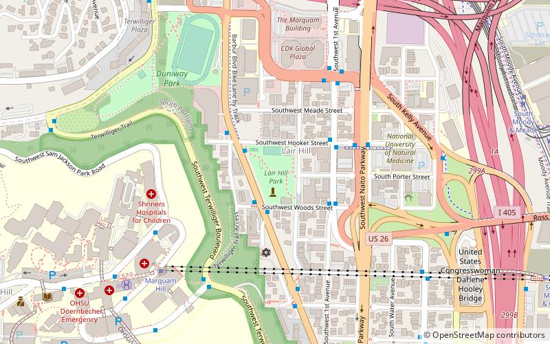
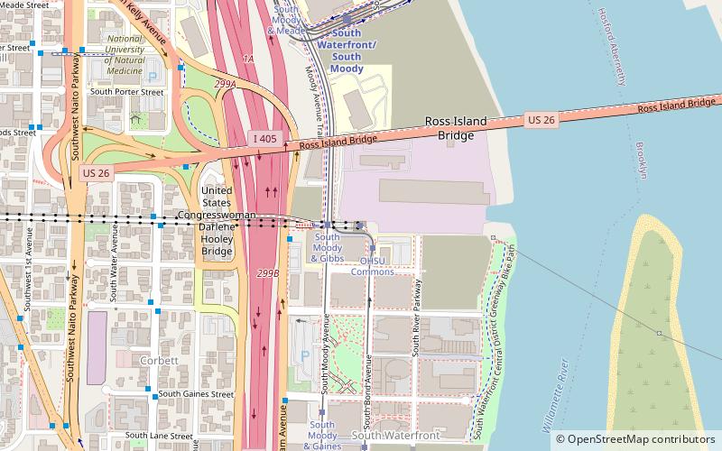
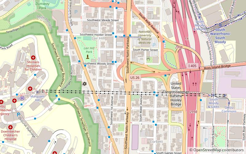
Map

Map

Facts and practical information
Lair Hill Park is a 3.26-acre public park in southwest Portland, Oregon. The space was acquired in 1927. It features a 1978 sculpture by Bruce West called BW1. ()
Elevation: 171 ft a.s.l.Coordinates: 45°30'6"N, 122°40'50"W
Day trips
Lair Hill Park – popular in the area (distance from the attraction)
Nearby attractions include: Portland Farmers Market, Portland Aerial Tram, South Waterfront Greenway, Gibbs Street Pedestrian Bridge.
Frequently Asked Questions (FAQ)
Which popular attractions are close to Lair Hill Park?
Nearby attractions include Neighborhood House, Portland (2 min walk), Corkish Apartments, Portland (3 min walk), South Portland Historic District, Portland (4 min walk), Portland Aerial Tram, Portland (6 min walk).
How to get to Lair Hill Park by public transport?
The nearest stations to Lair Hill Park:
Bus
Tram
Light rail
Bus
- Southwest Barbur & Woods • Lines: 1, 12, 44 (2 min walk)
- Southwest 1st & Hooker • Lines: 43 (3 min walk)
Tram
- South Moody & Meade • Lines: A, B, Ns (10 min walk)
- South Moody & Gibbs • Lines: Ns (12 min walk)
Light rail
- Lincoln Street/Southwest 3rd Avenue • Lines: Orange (12 min walk)
- South Waterfront/South Moody • Lines: Orange (12 min walk)


