Gibbs Street Pedestrian Bridge, Portland
Map
Gallery
Facts and practical information
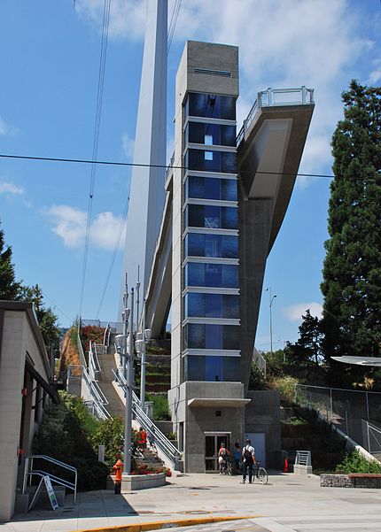
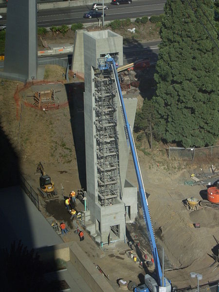
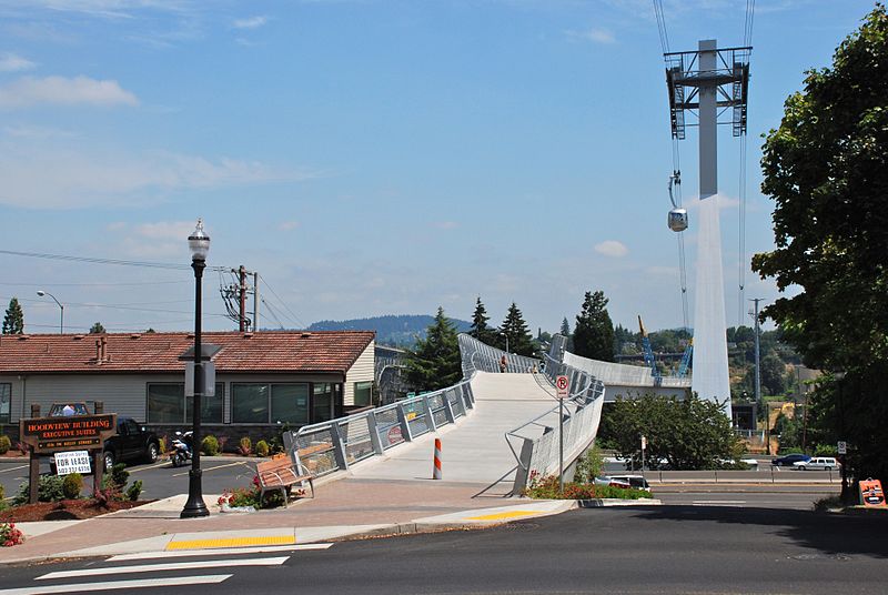
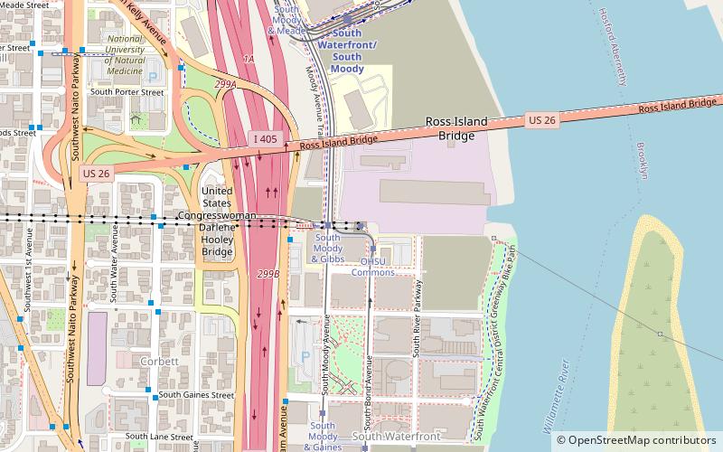
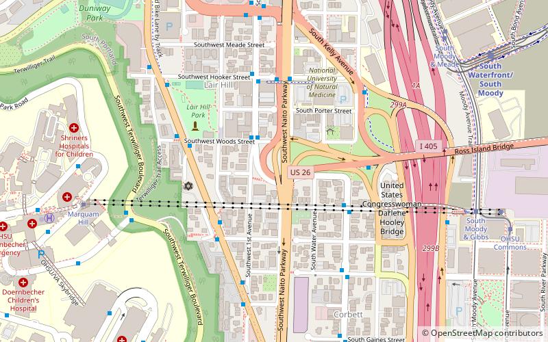
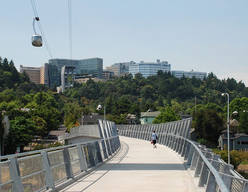
The Gibbs Street Pedestrian Bridge, more formally known as the US Congresswoman Darlene Hooley Pedestrian Bridge at Gibbs Street, is an approximately 700-foot pedestrian bridge in Portland, Oregon, United States, which opened on July 14, 2012. It connects the Lair Hill neighborhood with the South Waterfront area. It is a steel box girder bridge, a change from the original plans for an extradosed bridge, made to reduce the project's cost. ()
Length: 700 ftCoordinates: 45°29'58"N, 122°40'23"W
Address
Gibbs Street Pedestrian BridgeLair Hill (South Portland)Portland 97239
ContactAdd
Social media
Add
Day trips
Gibbs Street Pedestrian Bridge – popular in the area (distance from the attraction)
Nearby attractions include: Oregon Museum of Science and Industry, Portland Aerial Tram, Marquam Bridge, Oregon Rail Heritage Center.
Frequently Asked Questions (FAQ)
Which popular attractions are close to Gibbs Street Pedestrian Bridge?
Nearby attractions include South Waterfront Greenway, Portland (3 min walk), OHSU Center for Health & Healing, Portland (3 min walk), Milton W. Smith House, Portland (3 min walk), Caruthers Park, Portland (5 min walk).
How to get to Gibbs Street Pedestrian Bridge by public transport?
The nearest stations to Gibbs Street Pedestrian Bridge:
Bus
Tram
Light rail
Bus
- Southwest Macadam & Tram Tower • Lines: 35, 36, 99 (1 min walk)
- Southwest Kelly & Gibbs • Lines: 99 (3 min walk)
Tram
- South Moody & Gibbs • Lines: Ns (2 min walk)
- OHSU Commons • Lines: Ns (3 min walk)
Light rail
- South Waterfront/South Moody • Lines: Orange (7 min walk)
- Lincoln Street/Southwest 3rd Avenue • Lines: Orange (18 min walk)


