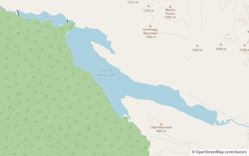
Chester Morse Lake, Mount Baker–Snoqualmie National Forest
Map

Gallery

Facts and practical information
Chester Morse Lake is a lake in the upper region of the Cedar River watershed in the U.S. state of Washington. The original lake surface was 1,530 feet above sea level, but when the river was dammed in 1900, the elevation was raised to 1,560 feet. Chester Morse Lake is more than four miles long, and is primarily fed from the east by the north and south forks of the Cedar River, and from the south by the Rex River. The lake is part of the Seattle area water supply. ()
Elevation: 1565 ft a.s.l.Coordinates: 47°23'18"N, 121°41'38"W
Address
Mount Baker–Snoqualmie National Forest
ContactAdd
Social media
Add
Day trips
Chester Morse Lake – popular in the area (distance from the attraction)
Nearby attractions include: Olallie State Park, Weeks Falls, Olallie State Park, McClellan Butte.


