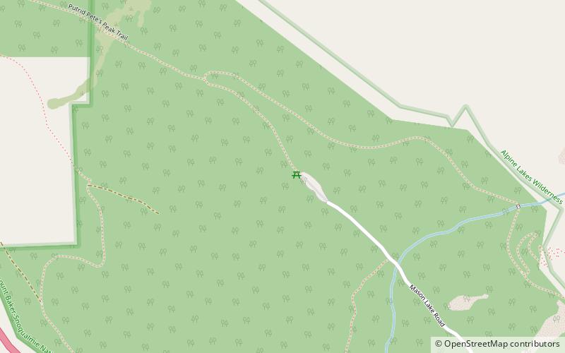
Ira Spring Trail, North Bend

Gallery (1)
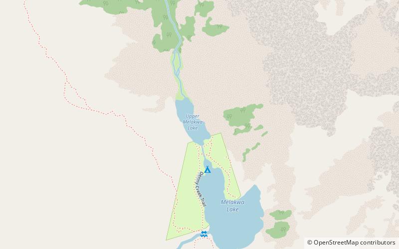
Map
Map
Facts and practical information
Ira Spring Trail is a place located in North Bend (Washington state) and belongs to the category of trail, hiking, hiking trail.
It is situated at an altitude of 2129 feet, and its geographical coordinates are 47°25'29"N latitude and 121°35'2"W longitude.
Among other places and attractions worth visiting in the area are: Mason Lake, Alpine Lakes Wilderness (nature, 39 min walk), Olallie State Park, Mount Baker–Snoqualmie National Forest (nature, 41 min walk), McClellan Butte, Mount Baker–Snoqualmie National Forest (nature, 56 min walk).
Coordinates: 47°25'29"N, 121°35'2"W
Day trips