McClellan Butte, Mount Baker–Snoqualmie National Forest

Gallery (1)
Map
Map
Facts and practical information
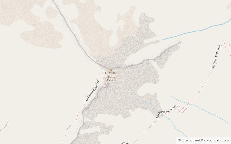
McClellan Butte is a prominent peak in the Cascade Range in King County, Washington 11 miles east of North Bend. The McClellan Butte hiking trail is a difficult trail known as an alternative to Mount Si's crowded trail. ()
Elevation: 5162 ftProminence: 1442 ftCoordinates: 47°24'24"N, 121°37'19"W
Address
Mount Baker–Snoqualmie National Forest
ContactAdd
Social media
Add
Day trips


