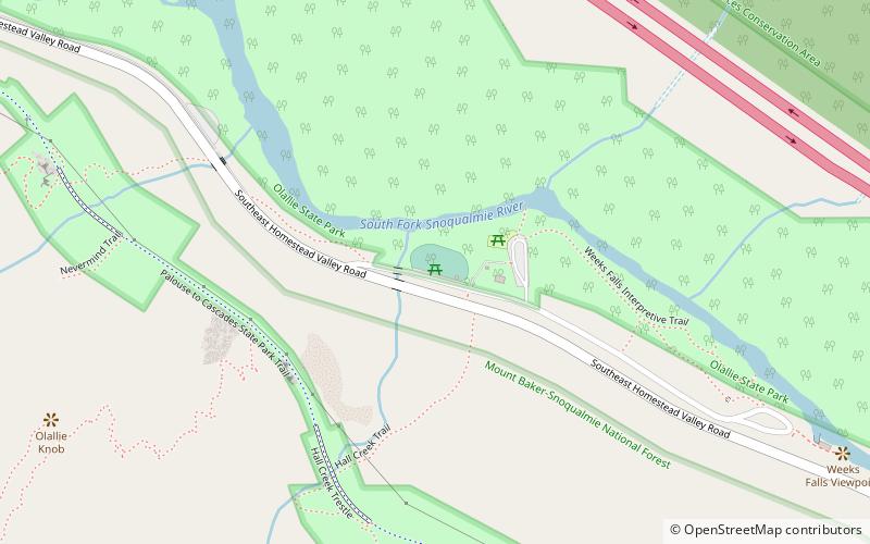
Olallie State Park, North Bend

Gallery (2)
Map
Map
Gallery
Facts and practical information
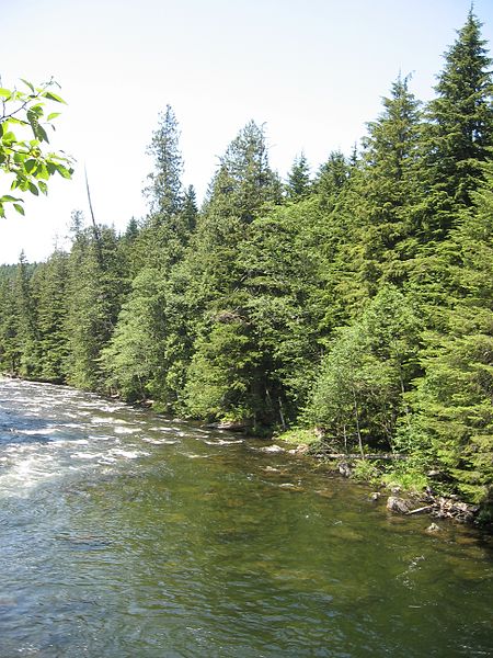
Olallie State Park is a public recreation area featuring multiple waterfalls located five miles southeast of North Bend, Washington. The state park spans a 3.5-mile stretch along the South Fork of the Snoqualmie River. The most prominent feature of the park is 135-foot-high Twin Falls. ()
Established: 1950 (76 years ago)Elevation: 1211 ft a.s.l.Coordinates: 47°26'9"N, 121°39'22"W
Day trips


