South Fork San Miguel River, Uncompahgre National Forest

Map
Facts and practical information
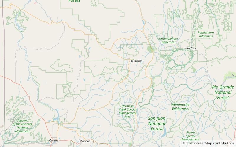
South Fork San Miguel River is a 6.5-mile-long tributary of the San Miguel River in San Miguel County, Colorado. The river flows north from a confluence of the Lake Fork and the Howard Fork to a confluence with the San Miguel River west of Telluride. ()
Coordinates: 37°51'59"N, 107°53'2"W
Address
Uncompahgre National Forest
ContactAdd
Social media
Add
Day trips