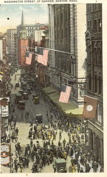
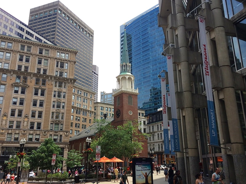
Washington Street, Boston

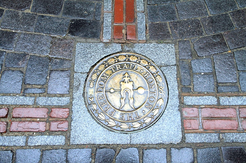
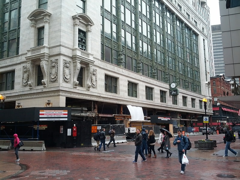
Gallery (3)
Map
Map
Gallery
Facts and practical information
Washington Street is a street originating in downtown Boston, Massachusetts that extends southwestward to the Massachusetts–Rhode Island state line. The majority of it was built as the Norfolk and Bristol Turnpike in the early 19th century. It is the longest street in Boston, and it remains one of the longest streets in the Commonwealth of Massachusetts. ()
Address
Downtown BostonBoston
ContactAdd
Social media
Add
Getting there by public transportation
Public transportation stops near this location
- Metro
- Bus
- Light rail
- Train
 Metro
Metro
- Calculate routeState 3 min walk
- Calculate routeDowntown Crossing 4 min walk
- Calculate routePark Street 6 min walk
- Calculate routeGovernment Center 6 min walk
- Calculate routeFederal St @ Franklin St 5 min walk
- Calculate routeOtis St @ Summer St 5 min walk
- Calculate routeTremont St opp Temple Pl 6 min walk
- Calculate routeLincoln St @ Essex St 9 min walk
- Calculate routePark Street 5 min walk
- Calculate routeGovernment Center 6 min walk
- Calculate routeBoylston 10 min walk
- Calculate routeHaymarket 10 min walk
- Calculate routeBoston South Station 11 min walk
- Calculate routeBoston North Station 18 min walk
- Calculate routeBoston Back Bay 27 min walk
Maps MBTA Subway
MBTA SubwayDay trips


Frequently Asked Questions (FAQ)
Which popular attractions are close to Washington Street?
Nearby attractions include Newspaper Row, Boston (1 min walk), Old South Meeting House, Boston (1 min walk), Irish Famine Memorial, Boston (1 min walk), Hawley Street, Boston (2 min walk).
How to get to Washington Street by public transport?
The nearest stations to Washington Street:
Metro
Bus
Light rail
Train
Metro
- State • Lines: Blue, Orange (3 min walk)
- Downtown Crossing • Lines: Orange, Red (4 min walk)
Bus
- Federal St @ Franklin St • Lines: 504 (5 min walk)
- Otis St @ Summer St • Lines: 504, 7 (5 min walk)
Light rail
- Park Street • Lines: B, C, D, E (5 min walk)
- Government Center • Lines: C, D, E (6 min walk)
Train
- Boston South Station (11 min walk)
- Boston North Station (18 min walk)