Maritime Industrial Zoning Overlay District, Baltimore
Facts and practical information
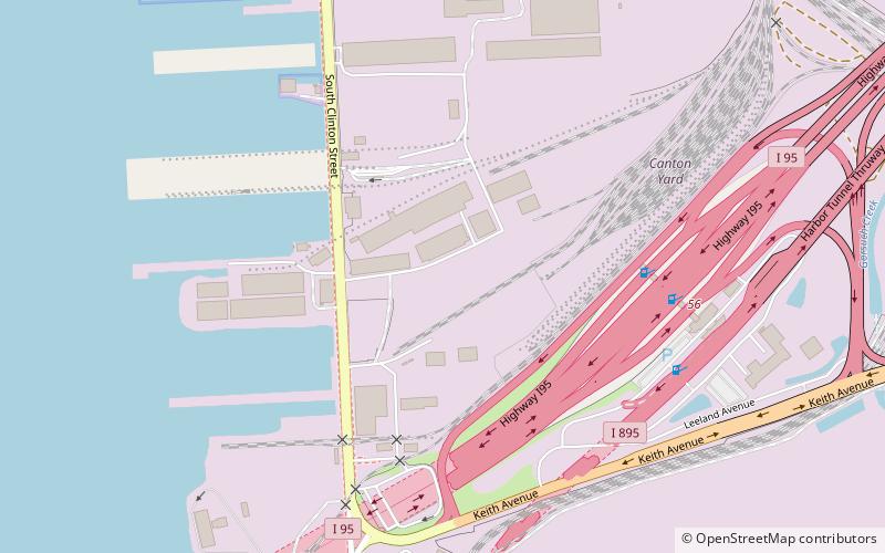
The Maritime Industrial Zoning Overlay District was created in Baltimore, Maryland in 2004 to preserve deepwater access for port and maritime industrial uses. As waterfront residential and commercial development encroached on maritime industrial uses within the city, waterfront industries were finding it harder to receive loans from banks to upgrade and expand their operations. MIZOD is a zoning district overlaid across existing industrial zones along the water to allow only industries that use or need deep water access. The Overlay district was set to expire in 2014, but was recently extended to expire in 2024. ()
Southeastern BaltimoreBaltimore
- Bus
 Bus
Bus
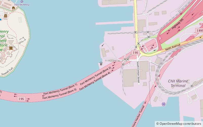
- Calculate routeFort McHenry 24 min walk
- Calculate routeHudson & Baylis 29 min walk
Maritime Industrial Zoning Overlay District – popular in the area (distance from the attraction)
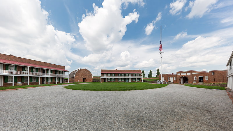
Nearby attractions include: Fort McHenry, Star-Spangled Banner National Historic Trail, Armistead Monument, SS John W. Brown.


Frequently Asked Questions (FAQ)
Which popular attractions are close to Maritime Industrial Zoning Overlay District?
How to get to Maritime Industrial Zoning Overlay District by public transport?
Bus
- Fort McHenry • Lines: Banner (24 min walk)
- Hudson & Baylis • Lines: 65 (29 min walk)