St. Ignatius College Prep, Chicago
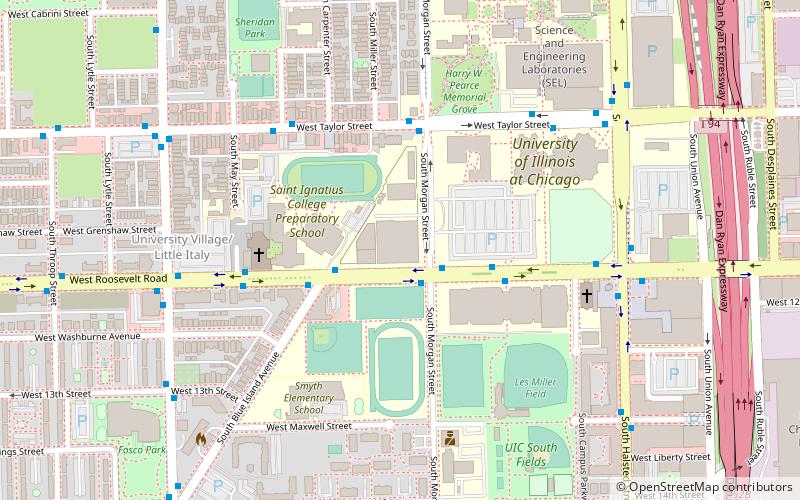
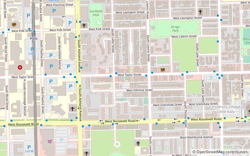
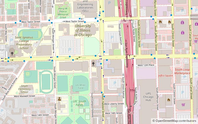
Map
Facts and practical information
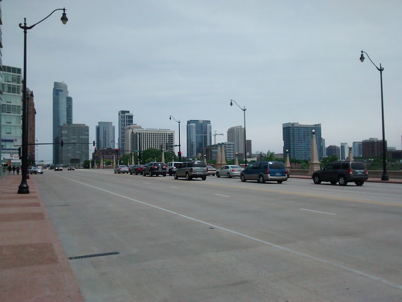
Saint Ignatius College Prep is a selective private, coeducational Jesuit college-preparatory school located in the Near West Side neighborhood of Chicago, Illinois. The school was founded in Chicago in 1869 by Fr. Arnold Damen, S.J. a Dutch missionary to the United States. ()
Coordinates: 41°52'3"N, 87°39'6"W
Getting there by public transportation
Public transportation stops near this location
- Metro
- Bus
- Train
 Metro
Metro
- Calculate routeRoosevelt & Morgan 2 min walk
- Calculate route900 W Roosevelt 3 min walk
- Calculate routeTaylor & Morgan 4 min walk
- Calculate routeHalsted Street 14 min walk
- Calculate routeChicago Union Station 26 min walk
- Calculate routeLaSalle Street Station 29 min walk
- Calculate routeOgilvie Transportation Center 33 min walk
- Calculate routeUIC-Halsted 15 min walk
- Calculate routeRacine 18 min walk
- Calculate routeClinton 20 min walk
- Calculate routePolk 25 min walk
Maps Rail "L"
Rail "L"Day trips
St. Ignatius College Prep – popular in the area (distance from the attraction)
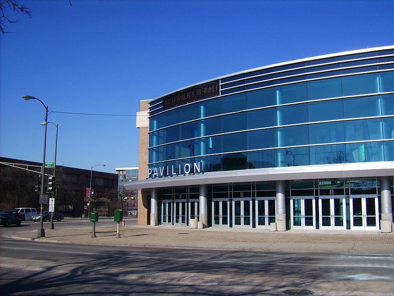
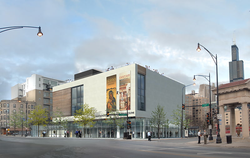
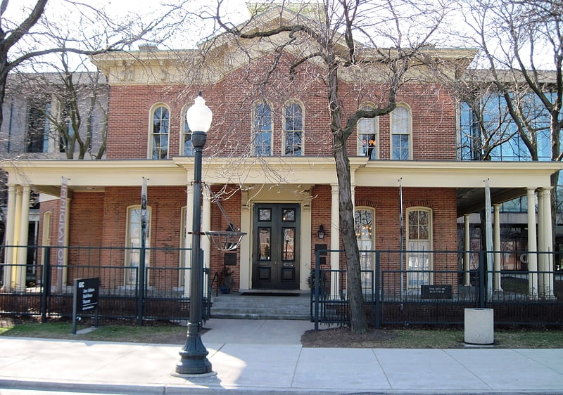
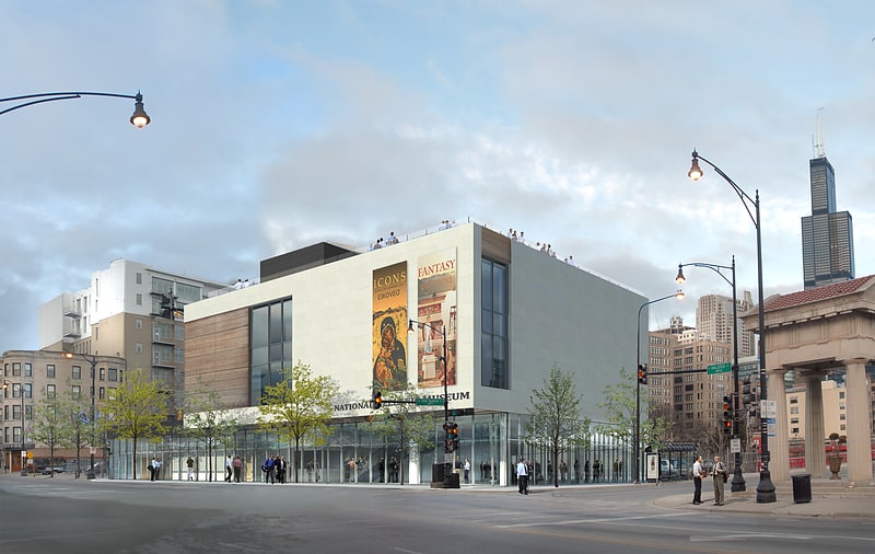
Nearby attractions include: UIC Pavilion, National Hellenic Museum, Jane Addams Hull-House Museum, National Italian American Sports Hall of Fame.
Frequently Asked Questions (FAQ)
Which popular attractions are close to St. Ignatius College Prep?
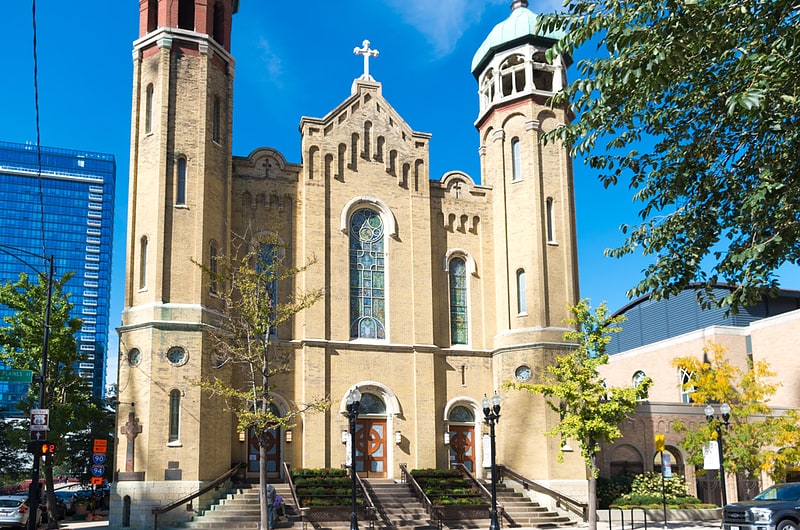
Nearby attractions include Holy Family Catholic Church, Chicago (4 min walk), UIC Skyspace, Chicago (7 min walk), Maxwell Street, Chicago (9 min walk), Jane Addams Hull-House Museum, Chicago (10 min walk).
How to get to St. Ignatius College Prep by public transport?
The nearest stations to St. Ignatius College Prep:
Bus
Train
Metro
Bus
- Roosevelt & Morgan • Lines: 12 (2 min walk)
- 900 W Roosevelt • Lines: 12 (3 min walk)
Train
- Halsted Street (14 min walk)
- Chicago Union Station (26 min walk)
Metro
- UIC-Halsted • Lines: Blue (15 min walk)
- Racine • Lines: Blue (18 min walk)