UIC Skyspace, Chicago
Map
Facts and practical information
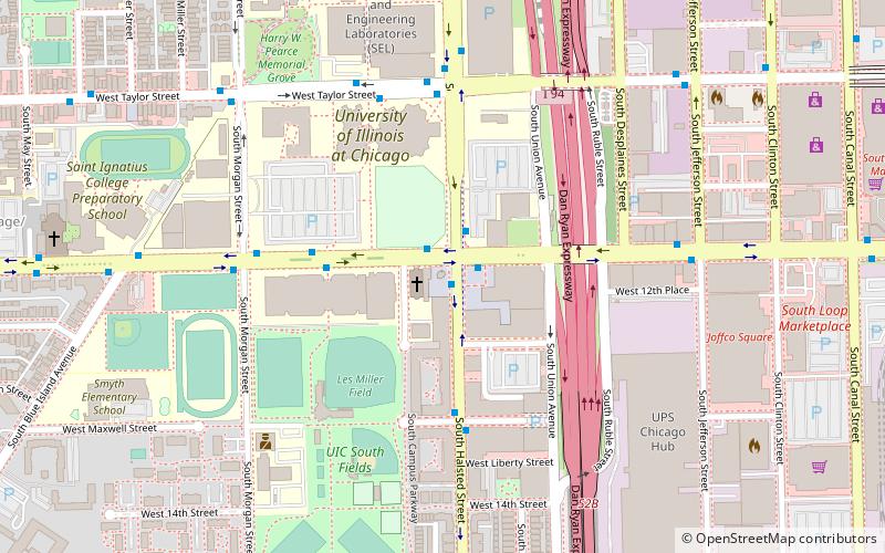
UIC Skyspace is a skyspace by James Turrell located at the southwest corner of Roosevelt Road and Halsted Street in Chicago. The sculpture was created in 2005 as part of the creation of the South Campus of the University of Illinois at Chicago. The sculpture and a fountain are located in the middle of Earl Neal Plaza, named for the lawyer who was instrumental in coordinating the development of the South Campus. ()
Coordinates: 41°52'1"N, 87°38'50"W
Address
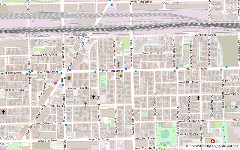
West Side (Near West Side)Chicago
ContactAdd
Social media
Add
Getting there by public transportation
Public transportation stops near this location
- Metro
- Bus
- Train
 Metro
Metro
- Calculate routeRoosevelt & Halsted 1 min walk
- Calculate routeHalsted & Roosevelt 1 min walk
- Calculate route900 W Roosevelt 4 min walk
- Calculate routeHalsted Street 12 min walk
- Calculate routeChicago Union Station 24 min walk
- Calculate routeLaSalle Street Station 25 min walk
- Calculate routeOgilvie Transportation Center 32 min walk
- Calculate routeUIC-Halsted 16 min walk
- Calculate routeClinton 18 min walk
- Calculate routeRacine 23 min walk
- Calculate routeLaSalle 26 min walk
Maps Rail "L"
Rail "L"Day trips


Frequently Asked Questions (FAQ)
Which popular attractions are close to UIC Skyspace?
Nearby attractions include Maxwell Street, Chicago (5 min walk), St. Ignatius College Prep, Chicago (7 min walk), Roosevelt Road, Chicago (8 min walk), DeKoven Street, Chicago (9 min walk).
How to get to UIC Skyspace by public transport?
The nearest stations to UIC Skyspace:
Bus
Train
Metro
Bus
- Roosevelt & Halsted • Lines: 12, 18, (N) N62 (1 min walk)
- Halsted & Roosevelt • Lines: 18, 8, (N) N62 (1 min walk)
Train
- Halsted Street (12 min walk)
- Chicago Union Station (24 min walk)
Metro
- UIC-Halsted • Lines: Blue (16 min walk)
- Clinton • Lines: Blue (18 min walk)