Utopia Playground, New York City
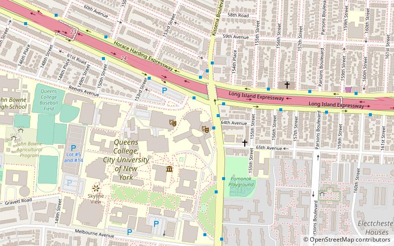
Map

Gallery
Facts and practical information
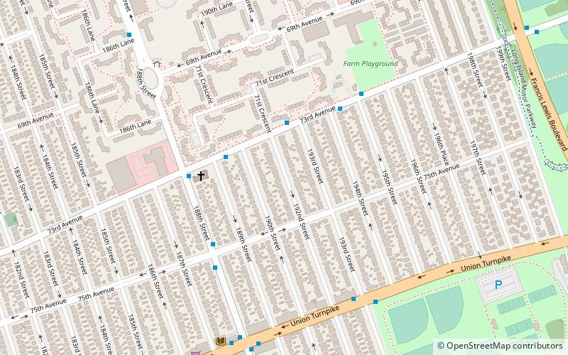
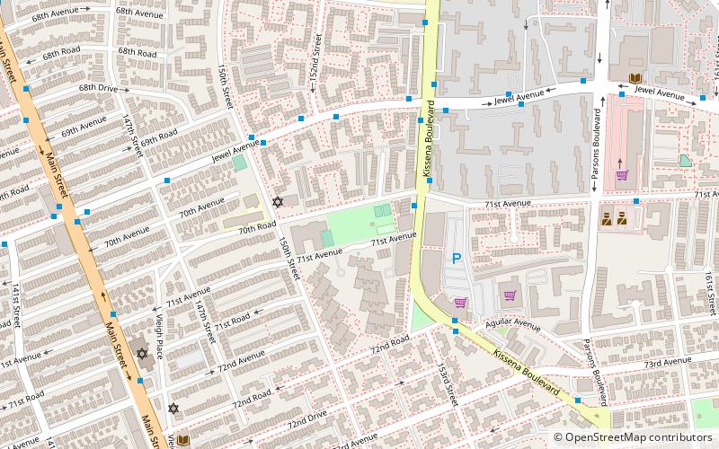
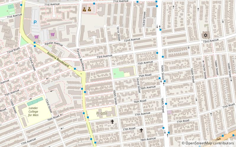
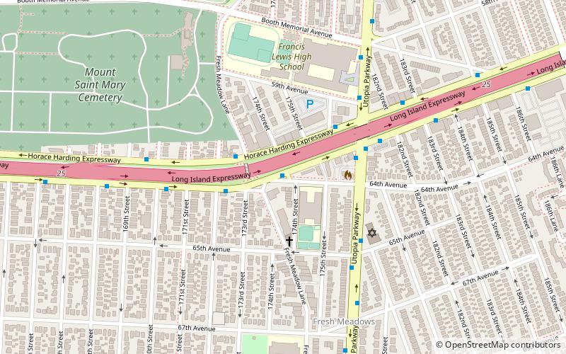
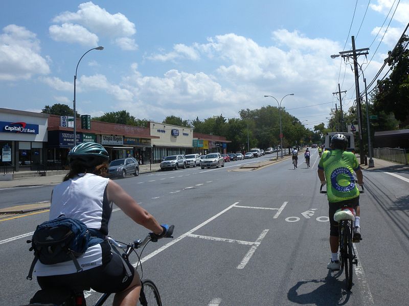
Utopia Parkway is a major street in the New York City borough of Queens. Starting in the neighborhood of Beechhurst and ending in the Jamaica Estates neighborhood, the street connects Cross Island Parkway and Northern Boulevard in the north to Union Turnpike, Grand Central Parkway and Hillside Avenue in the south. ()
Length: 5.1 miElevation: 43 ft a.s.l.Coordinates: 40°43'51"N, 73°47'35"W
Day trips
Utopia Playground – popular in the area (distance from the attraction)
Nearby attractions include: Fresh Meadow Country Club, Kissena Park, Kissena Golf Course, Vleigh Playground.
Frequently Asked Questions (FAQ)
Which popular attractions are close to Utopia Playground?
Nearby attractions include Chris Postiglione Triangle, New York City (14 min walk), Fresh Meadows, New York City (20 min walk), Pomonok, New York City (22 min walk), Playground Seventy-Five, New York City (22 min walk).
How to get to Utopia Playground by public transport?
The nearest stations to Utopia Playground:
Bus
Bus
- Horace Harding Expressway & 183rd Street • Lines: Q30, Q88 (16 min walk)
- 188th Street & 64th Avenue • Lines: Q88 (18 min walk)

 Subway
 Manhattan Buses