John McLoughlin Bridge, Oregon City
Map

Map

Facts and practical information
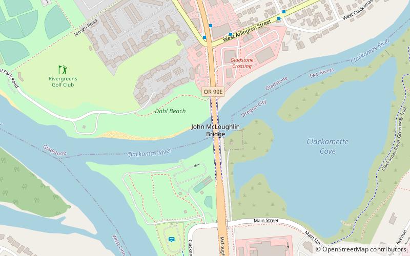
The John McLoughlin Bridge is a tied-arch bridge that spans the Clackamas River between Oregon City and Gladstone, Oregon, in the northwest United States. It was designed by Conde McCullough, and named for Dr. John McLoughlin. ()
Opened: 1933 (93 years ago)Coordinates: 45°22'24"N, 122°36'7"W
Address
McLoughlin Blvd/OR 99EGladstoneOregon City
ContactAdd
Social media
Add
Day trips
John McLoughlin Bridge – popular in the area (distance from the attraction)
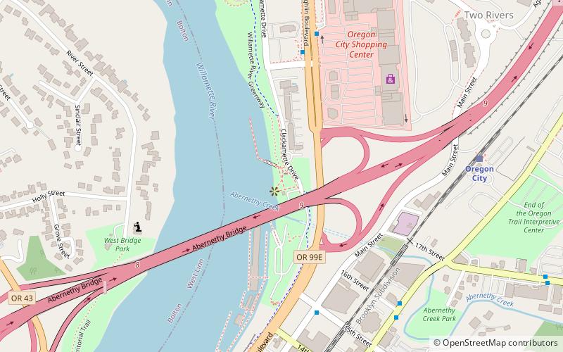
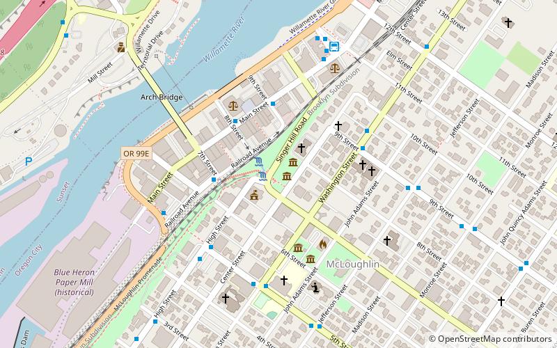
Nearby attractions include: McLoughlin Promenade, Clackamette Park, Oregon City Bridge, Oregon City Municipal Elevator.
Frequently Asked Questions (FAQ)
Which popular attractions are close to John McLoughlin Bridge?
Nearby attractions include Clackamette Park, Oregon City (5 min walk), Jon Storm Park, Oregon City (14 min walk), Abernethy Bridge, Oregon City (16 min walk), End of the Oregon Trail Interpretive & Visitor Information Center, Oregon City (18 min walk).
How to get to John McLoughlin Bridge by public transport?
The nearest stations to John McLoughlin Bridge:
Bus
Train
Bus
- McLoughlin & River Road • Lines: 33, 99 (5 min walk)
- West Arlington & McLoughlin • Lines: 31, 32, 34 (6 min walk)
Train
- Oregon City (15 min walk)


