Washington Crossing Bridge, Pittsburgh
Map

Gallery

Facts and practical information
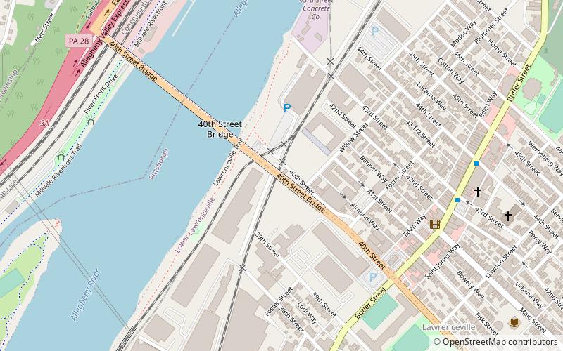
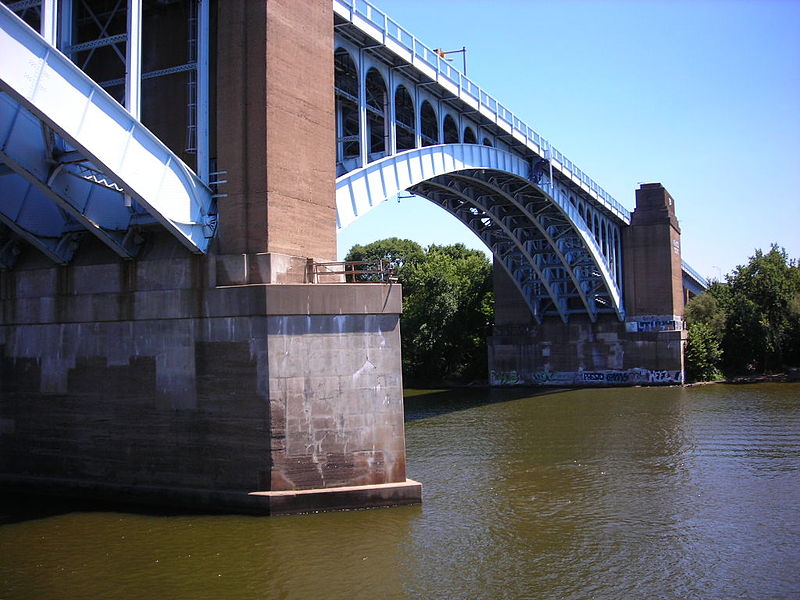
The Washington Crossing Bridge, commonly known as the Fortieth Street Bridge, is an arch bridge that carries vehicular traffic across the Allegheny River between the Pittsburgh neighborhood of Lawrenceville and the suburb of Millvale. ()
Opened: 1924 (102 years ago)Length: 2366 ftCoordinates: 40°28'16"N, 79°57'57"W
Address
East End (Central Lawrenceville)Pittsburgh
ContactAdd
Social media
Add
Day trips
Washington Crossing Bridge – popular in the area (distance from the attraction)
Nearby attractions include: Mr. Smalls Theatre, 33rd Street Railroad Bridge, The Doughboy, The Church Brew Works.
Frequently Asked Questions (FAQ)
Which popular attractions are close to Washington Crossing Bridge?
Nearby attractions include Turney House, Pittsburgh (6 min walk), Consolidated Ice Company Factory No. 2, Pittsburgh (7 min walk), Naser's Tavern, Pittsburgh (7 min walk), Lawrence Public School, Pittsburgh (8 min walk).
How to get to Washington Crossing Bridge by public transport?
The nearest stations to Washington Crossing Bridge:
Bus
Bus
- Grant Ave at East Ohio St • Lines: 2 (13 min walk)
- East Ohio St at Grant Ave • Lines: 1, 2 (14 min walk)


