Lawrenceville Historic District, Pittsburgh
Map

Map

Facts and practical information
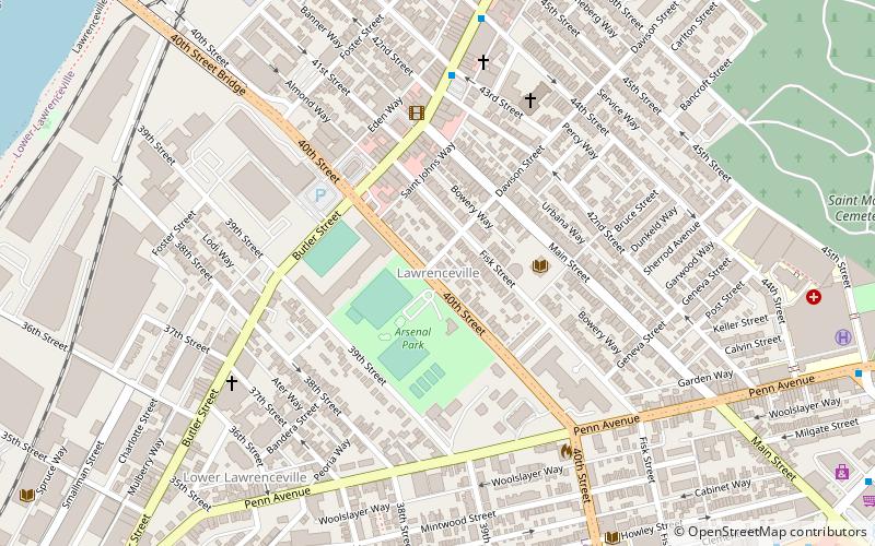
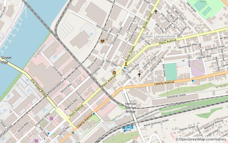
The Lawrenceville Historic District is a U.S. historic district in Pittsburgh, Pennsylvania, which encompasses the majority of the Lawrenceville neighborhood. The historic district includes 3,217 contributing resources, many of which are rowhouses, commercial buildings, and former industrial properties built between the 1830s and early 20th century. The district was listed on the National Register of Historic Places in 2019. ()
Area: 1.43 mi²Coordinates: 40°28'3"N, 79°57'38"W
Address
East End (Central Lawrenceville)Pittsburgh
ContactAdd
Social media
Add
Day trips
Lawrenceville Historic District – popular in the area (distance from the attraction)
Nearby attractions include: Mr. Smalls Theatre, Allegheny Cemetery, 33rd Street Railroad Bridge, The Doughboy.
Frequently Asked Questions (FAQ)
Which popular attractions are close to Lawrenceville Historic District?
Nearby attractions include Allegheny Arsenal, Pittsburgh (2 min walk), Foster School, Pittsburgh (3 min walk), Arsenal Middle School, Pittsburgh (3 min walk), Lawrenceville Branch of the Carnegie Library of Pittsburgh, Pittsburgh (3 min walk).
How to get to Lawrenceville Historic District by public transport?
The nearest stations to Lawrenceville Historic District:
Bus
Bus
- Herron Station (17 min walk)
- Grant Ave at East Ohio St • Lines: 2 (22 min walk)


