Mount Davidson, San Francisco

Gallery (5)
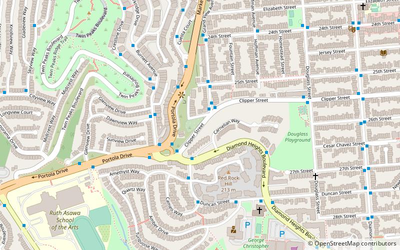
Map

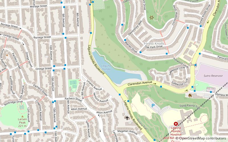
Map

Gallery
Facts and practical information
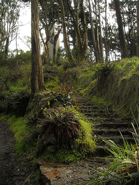
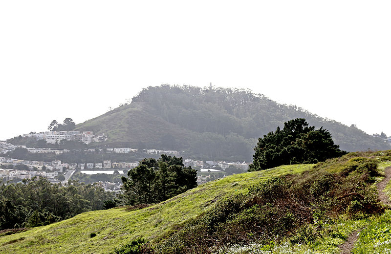
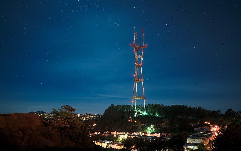
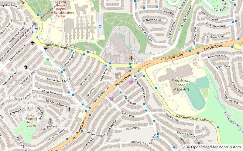
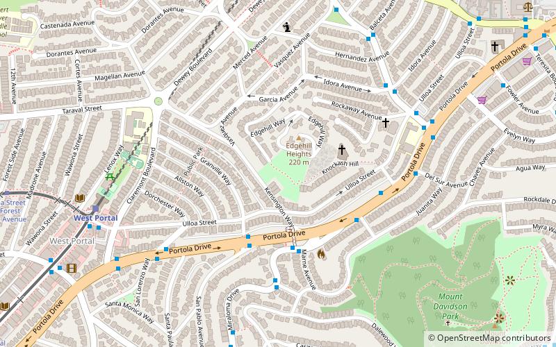
Mount Davidson is the highest natural point in San Francisco, California, with an elevation of 928 feet. It is located near the geographical center of the city, south of Twin Peaks and Portola Drive and to the west of Diamond Heights and Glen Park. It dominates the southeastern view from most of Portola Drive. It is one of San Francisco's many hills and one of its original "Seven Hills". ()
Address
Myra WaySouthwest San Francisco (Sherwood Forest)San Francisco 94127
Contact
(415) 831-6331
Social media
Add
Getting there by public transportation
Public transportation stops near this location
- Metro
- Bus
- Trolleybus
- Light rail
 Metro
Metro
- Calculate routeMyra Way & Molimo Drive 3 min walk
- Calculate route555 Myra Way 4 min walk
- Calculate routeWest Portal 19 min walk
- Calculate routeForest Hill 20 min walk
- Calculate routeWest Portal Avenue & 14th Avenue 23 min walk
- Calculate routeUlloa Street & Forest Side Avenue 23 min walk
- Calculate routeGlen Park 29 min walk
- Calculate routeBalboa Park 31 min walk
- Calculate routeCastro Street & 26th Street 32 min walk
- Calculate route26th Street & Castro Street 33 min walk
- Calculate routeNoe Street & 27th Street 34 min walk
Maps Muni Metro
Muni MetroDay trips


Frequently Asked Questions (FAQ)
When is Mount Davidson open?
Mount Davidson is open:
- Monday 6 am - 10 pm
- Tuesday 6 am - 10 pm
- Wednesday 6 am - 10 pm
- Thursday 6 am - 10 pm
- Friday 6 am - 10 pm
- Saturday 6 am - 10 pm
- Sunday 6 am - 10 pm
Which popular attractions are close to Mount Davidson?
Nearby attractions include Westwood Highlands, San Francisco (11 min walk), Edgehill Mountain, San Francisco (12 min walk), HerChurch, San Francisco (12 min walk), Glen Canyon Park, San Francisco (16 min walk).
How to get to Mount Davidson by public transport?
The nearest stations to Mount Davidson:
Bus
Light rail
Metro
Trolleybus
Bus
- Myra Way & Molimo Drive • Lines: 3652 (3 min walk)
- 555 Myra Way • Lines: 3652 (4 min walk)
Light rail
- West Portal • Lines: K, S, T (19 min walk)
- Forest Hill • Lines: K, S, T (20 min walk)
Metro
- Glen Park • Lines: Blue, Green, Red, Yellow (29 min walk)
- Balboa Park • Lines: Blue, Green, Red, Yellow (31 min walk)
Trolleybus
- Castro Street & 26th Street • Lines: 24 (32 min walk)
- 26th Street & Castro Street • Lines: 24 (33 min walk)