Glen Canyon Park, San Francisco
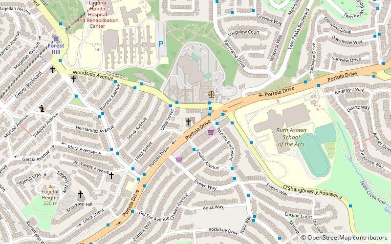
Map

Gallery
Facts and practical information
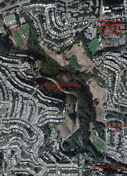
Glen Canyon Park is a city park in San Francisco, California. It occupies about 70 acres along a deep canyon adjacent to the Glen Park, Diamond Heights, and Miraloma Park neighborhoods. O'Shaughnessy Hollow is a rugged, undeveloped 3.6 acres tract of parkland that lies immediately to the west and may be considered an extension of Glen Canyon Park. ()
Created: 1922Elevation: 315 ft a.s.l.Coordinates: 37°44'24"N, 122°26'31"W
Address
2-38 Elk StSouthwest San Francisco (Glen Park)San Francisco 94131
ContactAdd
Social media
Add
Day trips
Glen Canyon Park – popular in the area (distance from the attraction)
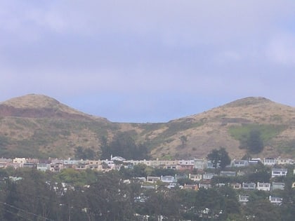
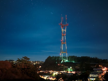
Nearby attractions include: Twin Peaks, Mount Davidson, Sutro Tower, Clipper card.
Frequently Asked Questions (FAQ)
Which popular attractions are close to Glen Canyon Park?
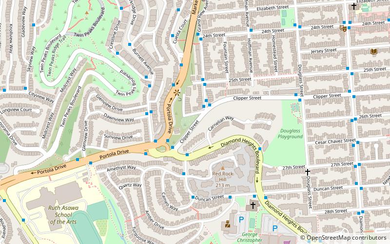
Nearby attractions include Diamond Heights, San Francisco (11 min walk), Billy Goat Hill, San Francisco (13 min walk), Clipper card, San Francisco (14 min walk), Mount Davidson, San Francisco (16 min walk).
How to get to Glen Canyon Park by public transport?
The nearest stations to Glen Canyon Park:
Bus
Trolleybus
Metro
Light rail
Bus
- Teresita Boulevard & El Sereno Court • Lines: 3652 (7 min walk)
- O'Shaughnessy Boulevard & Malta Drive • Lines: 44 (7 min walk)
Trolleybus
- Noe Street & 30th Street • Lines: 24 (16 min walk)
- 30th Street & Noe Street • Lines: 24 (16 min walk)
Metro
- Glen Park • Lines: Blue, Green, Red, Yellow (17 min walk)
Light rail
- Glen Park • Lines: J (18 min walk)
- San Jose Avenue & Santa Rosa Avenue • Lines: J (20 min walk)

 Muni Metro