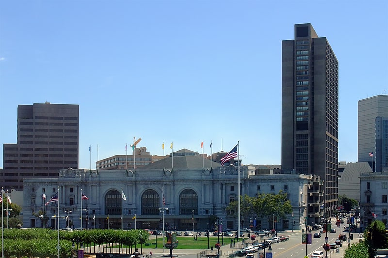
San Francisco Ballet, San Francisco
Map
Facts and practical information
San Francisco Ballet School was founded in 1933 as part of the San Francisco Operatic and Ballet School when Gaetano Merola, the founder of the San Francisco Opera, perceived a need for an institution where dancers could be trained to perform in opera productions. ()
Address
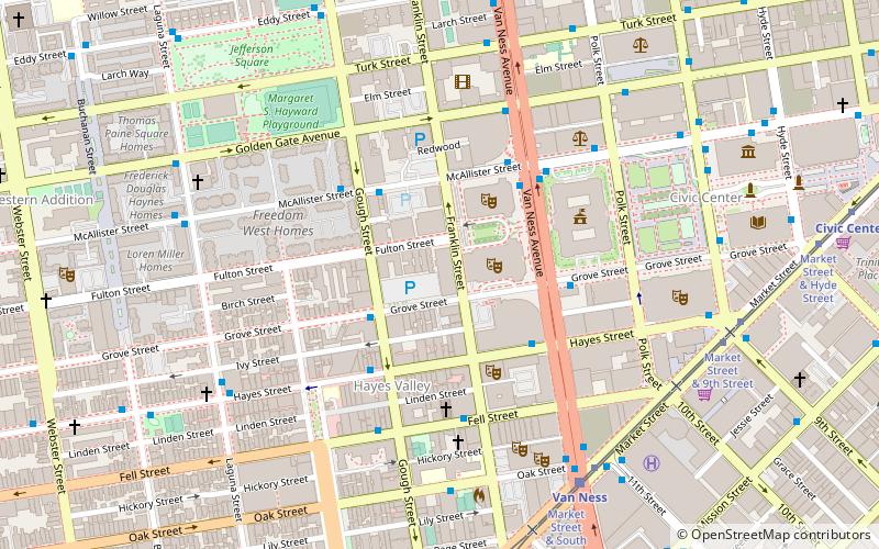
401 Van Ness AveNortheast San Francisco (Civic Center)San Francisco 94102-4522
Contact
+1 415-865-2000
Social media
Add
Getting there by public transportation
Public transportation stops near this location
- Metro
- Bus
- Trolleybus
- Tram
- Light rail
 Metro
Metro
- Calculate routeMcAllister Street & Gough Street 4 min walk
- Calculate routeVan Ness Avenue & McAllister Street 4 min walk
- Calculate routeMcAllister Street & Polk Street 6 min walk
- Calculate routeMarket Street & Van Ness Avenue 7 min walk
- Calculate routeVan Ness 7 min walk
- Calculate routeCivic Center 12 min walk
- Calculate routeDuboce Avenue & Church Street 19 min walk
- Calculate routeChurch Street & Duboce Avenue 19 min walk
- Calculate routeMission Street & 11th Street 10 min walk
- Calculate routeOtis Street & 12th Street 11 min walk
- Calculate routeCivic Center 12 min walk
- Calculate route16th Street Mission 24 min walk
Maps Muni Metro
Muni MetroDay trips
San Francisco Ballet – popular in the area (distance from the attraction)
Nearby attractions include: Bill Graham Civic Auditorium, San Francisco City Hall, Cathedral of Saint Mary of the Assumption, Market Street.


Frequently Asked Questions (FAQ)
Which popular attractions are close to San Francisco Ballet?
Nearby attractions include War Memorial Opera House, San Francisco (2 min walk), Louise M. Davies Symphony Hall, San Francisco (2 min walk), San Francisco Veterans Memorial, San Francisco (2 min walk), Herbst Theatre, San Francisco (3 min walk).
How to get to San Francisco Ballet by public transport?
The nearest stations to San Francisco Ballet:
Bus
Tram
Light rail
Trolleybus
Metro
Bus
- McAllister Street & Gough Street • Lines: 5 (4 min walk)
- Van Ness Avenue & McAllister Street • Lines: 49, 90 (4 min walk)
Tram
- Market Street & Van Ness Avenue • Lines: F (7 min walk)
Light rail
- Van Ness • Lines: K, N, S, T (7 min walk)
- Civic Center • Lines: K, N, S, T (12 min walk)
Trolleybus
- Mission Street & 11th Street • Lines: 14 (10 min walk)
- Otis Street & 12th Street • Lines: 14 (11 min walk)
Metro
- Civic Center • Lines: Blue, Green, Red, Yellow (12 min walk)
- 16th Street Mission • Lines: Blue, Green, Red, Yellow (24 min walk)