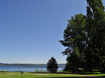
Matthews Beach Park, Seattle
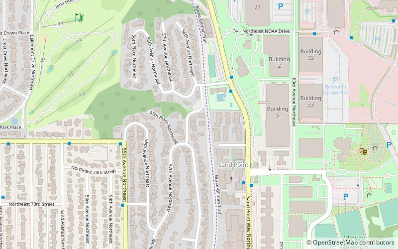
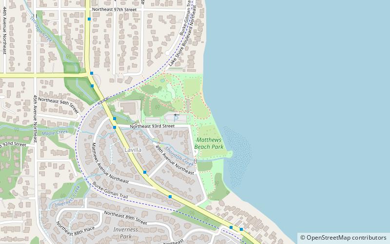
Map
Gallery
Facts and practical information
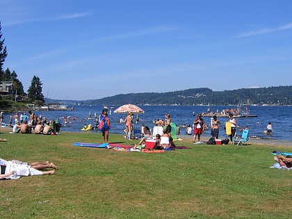
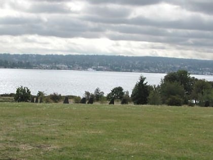
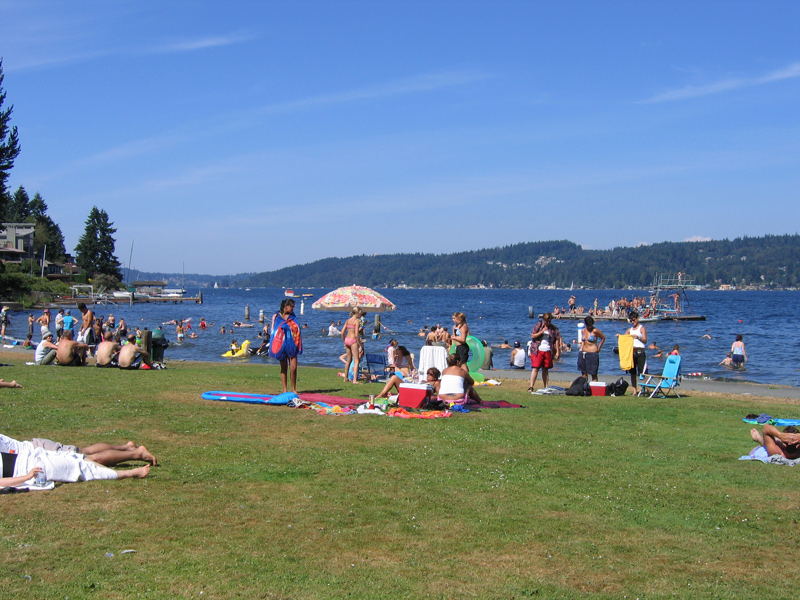
Matthews Beach Park is a 22-acre park in the Matthews Beach neighborhood of Seattle, Washington. It is a popular swimming beach in the summer, although it is also open during winter months. ()
Created: 1951Elevation: 20 ft a.s.l.Coordinates: 47°41'46"N, 122°16'23"W
Day trips
Matthews Beach Park – popular in the area (distance from the attraction)
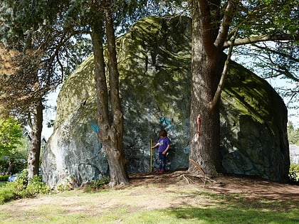
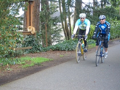
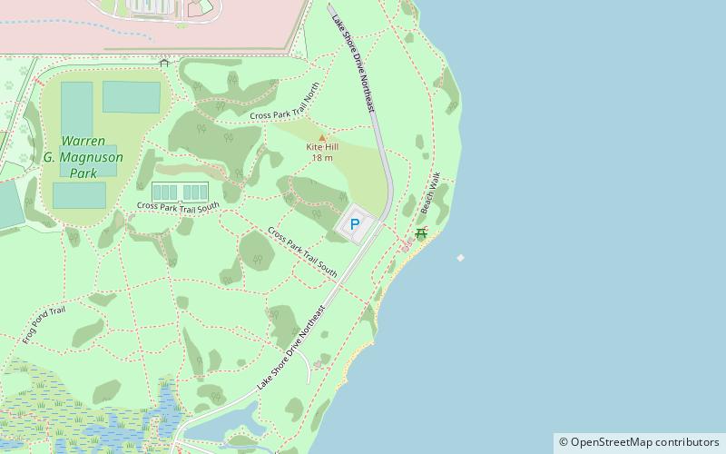
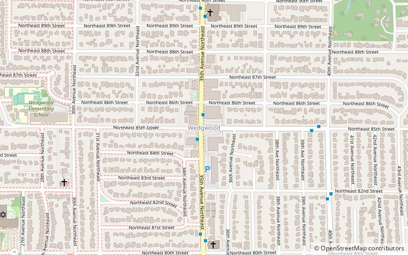
Nearby attractions include: Magnuson Park, NOAA Center for Tsunami Research, Wedgwood Rock, Burke–Gilman Trail.
Frequently Asked Questions (FAQ)
Which popular attractions are close to Matthews Beach Park?
Nearby attractions include Burke–Gilman Trail, Seattle (6 min walk), Matthews Beach, Seattle (6 min walk), Wedgwood, Seattle (24 min walk), NOAA Center for Tsunami Research, Seattle (24 min walk).
How to get to Matthews Beach Park by public transport?
The nearest stations to Matthews Beach Park:
Bus
Bus
- Sand Point Way NE & Matthews Pl NE • Lines: 75 (4 min walk)
