Burke–Gilman Trail, Seattle

Gallery (1)
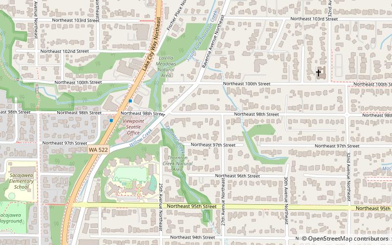
Map
Map
Facts and practical information
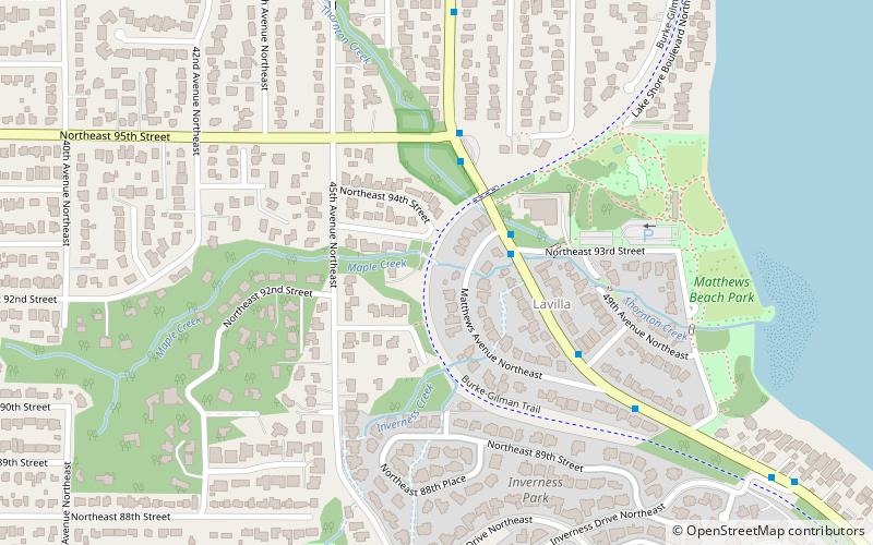
The Burke–Gilman Trail is a rail trail in King County, Washington. The 27-mile multi-use recreational trail is part of the King County Regional Trail System and occupies an abandoned Seattle, Lake Shore and Eastern Railway corridor. ()
Length: 19.8 miElevation: 49 ft a.s.l.Coordinates: 47°41'44"N, 122°16'41"W
Getting there by public transportation
Public transportation stops near this location
- Bus
 Bus
Bus
- Calculate routeSand Point Way NE & NE 93rd St 2 min walk
Day trips


Frequently Asked Questions (FAQ)
Which popular attractions are close to Burke–Gilman Trail?
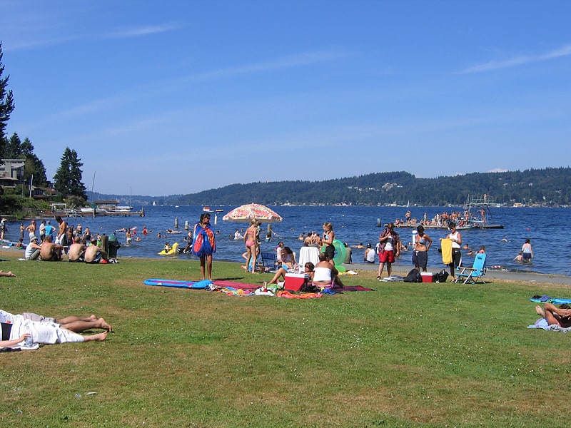
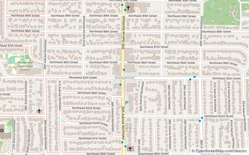
Nearby attractions include Matthews Beach, Seattle (6 min walk), Matthews Beach Park, Seattle (6 min walk), Wedgwood, Seattle (18 min walk).
How to get to Burke–Gilman Trail by public transport?
The nearest stations to Burke–Gilman Trail:
Bus
Bus
- Sand Point Way NE & NE 93rd St • Lines: 75 (2 min walk)