Villa District, Chicago

Gallery (1)
Map
Map
Facts and practical information
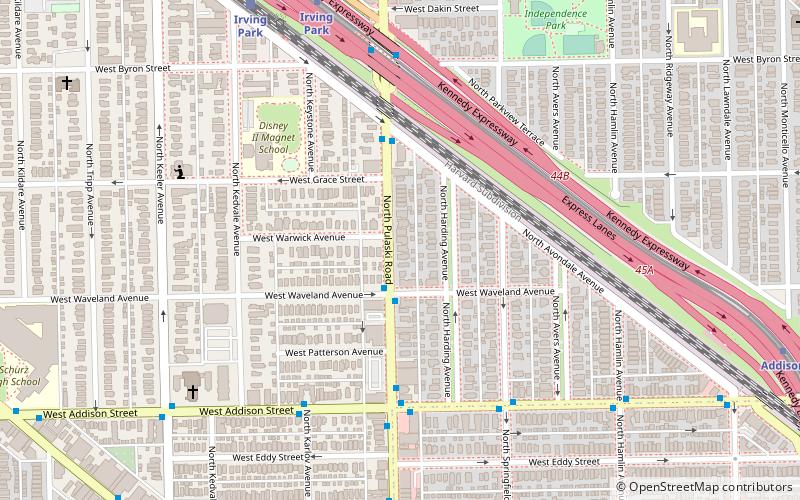
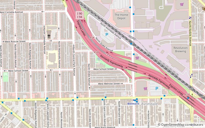
The Villa District, also known as Villa Historic District, is a historic district in Chicago, Illinois, United States. It is located on Chicago's Northwest Side within the community area of Irving Park. Its borders are along Pulaski Road to the west, the Union Pacific/Northwest rail line to the north, Hamlin Avenue to the east, and Addison Street to the south. Located directly north of the Wacławowo area of Avondale, the Villa District is serviced by the Blue Line's Addison street station. ()
Coordinates: 41°56'56"N, 87°43'38"W
Address
Northwest Side (Irving Park)Chicago
ContactAdd
Social media
Add
Getting there by public transportation
Public transportation stops near this location
- Metro
- Bus
- Train
 Metro
Metro
- Calculate routePulaski & Waveland 2 min walk
- Calculate routeAddison & Pulaski WB 5 min walk
- Calculate routeIrving Park 9 min walk
- Calculate routeAddison 12 min walk
- Calculate routeIrving Park 9 min walk
- Calculate routeGrayland 18 min walk
- Calculate routeMayfair 32 min walk
Maps Rail "L"
Rail "L"Day trips


Frequently Asked Questions (FAQ)
Which popular attractions are close to Villa District?
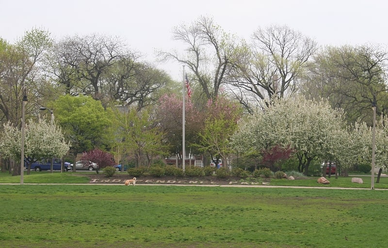
Nearby attractions include Independence Park, Chicago (9 min walk), St. Wenceslaus Church, Chicago (15 min walk), Ropp-Grabill House, Chicago (16 min walk), Muslim Community Center, Chicago (20 min walk).
How to get to Villa District by public transport?
The nearest stations to Villa District:
Bus
Metro
Train
Bus
- Pulaski & Waveland • Lines: 53, (N) N53 (2 min walk)
- Addison & Pulaski WB • Lines: 152 (5 min walk)
Metro
- Irving Park • Lines: Blue (9 min walk)
- Addison • Lines: Blue (12 min walk)
Train
- Irving Park (9 min walk)
- Grayland (18 min walk)