Roaring Creek Covered Bridge, Turkey Run State Park

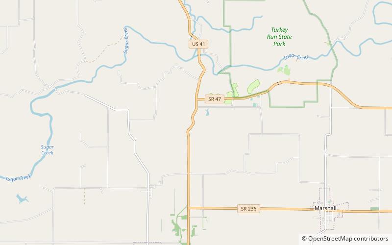
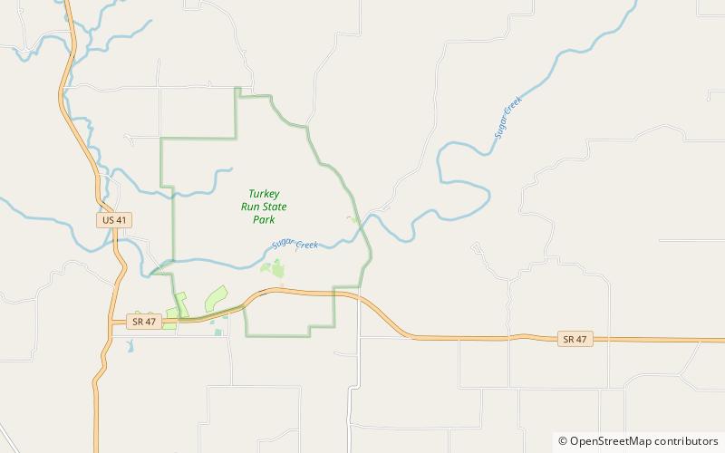
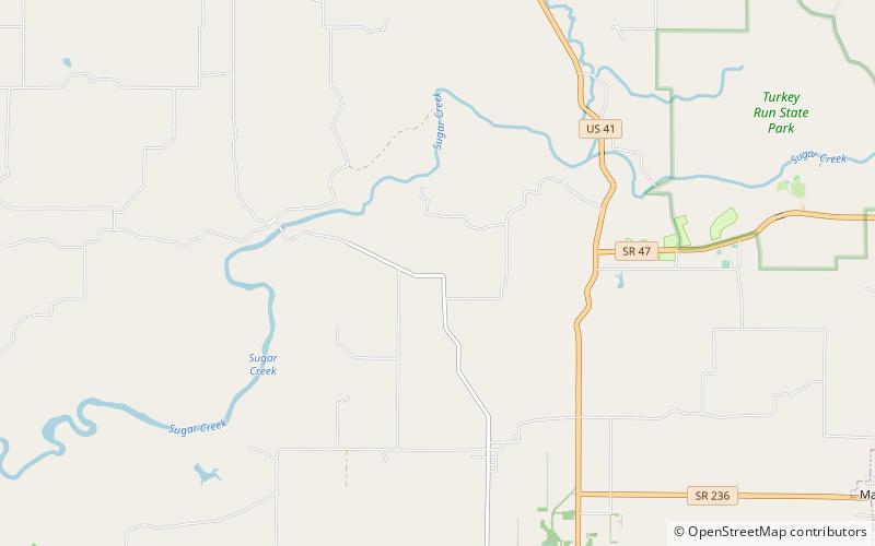
Map
Facts and practical information
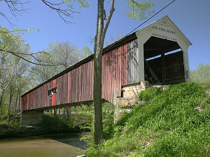
The Roaring Creek Covered Bridge was northeast of Annapolis, Indiana. The single-span covered bridge structure was built by Henry Wolf in 1863 and dismantled in 1923-25. ()
Coordinates: 39°52'16"N, 87°13'60"W
Day trips
Roaring Creek Covered Bridge – popular in the area (distance from the attraction)
Nearby attractions include: Cox Ford Covered Bridge, Narrows Covered Bridge, Wilkins Mill Covered Bridge, Lusk Covered Bridge.


