Wilkins Mill Covered Bridge, Turkey Run State Park
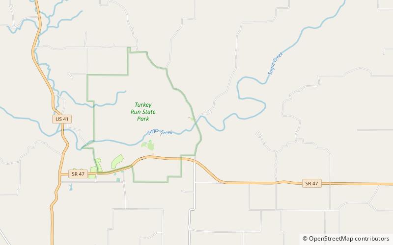
Map
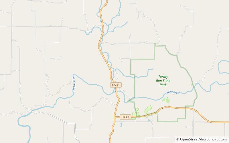
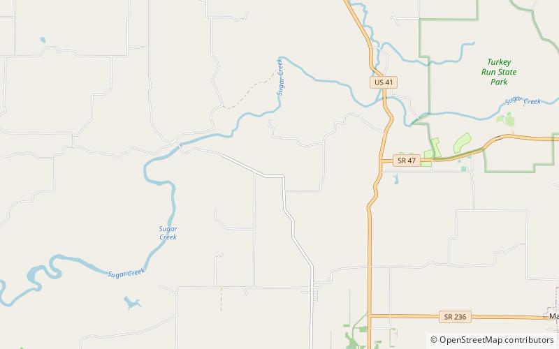
Map

Facts and practical information
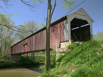
The Wilkins Mill Covered Bridge is north of Rockville, Indiana. The single span Burr Arch Truss covered bridge structure was built by William Hendricks in 1906. The bridge is 120 feet long, 16 feet wide, and 13 feet high. ()
Length: 120 ftWidth: 16 ftHeight: 13 ftCoordinates: 39°53'54"N, 87°13'60"W
Address
Turkey Run State Park
ContactAdd
Social media
Add
Day trips
Wilkins Mill Covered Bridge – popular in the area (distance from the attraction)
Nearby attractions include: Cox Ford Covered Bridge, Narrows Covered Bridge, Lusk Covered Bridge, Lusk Home.

